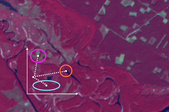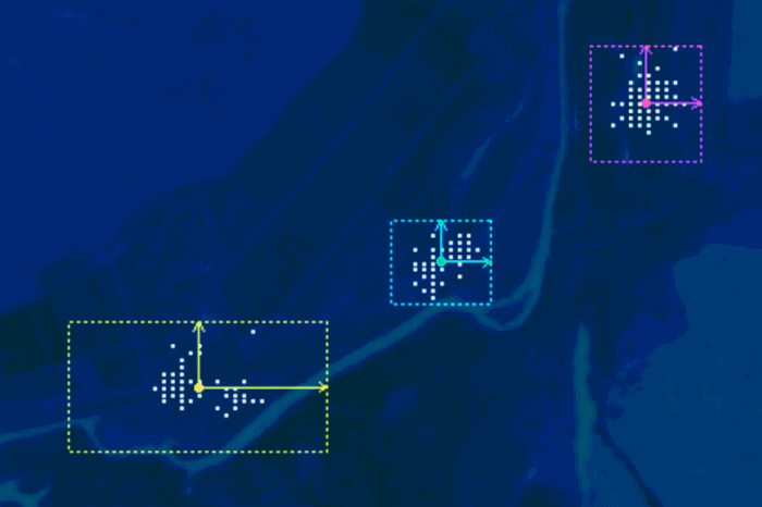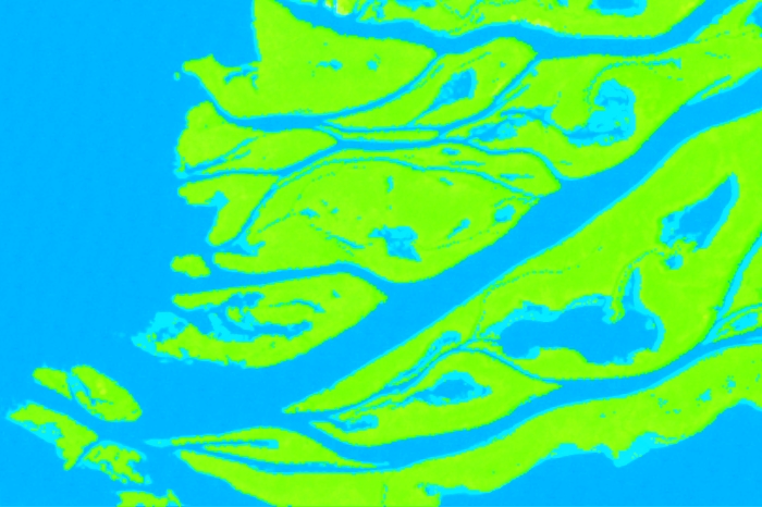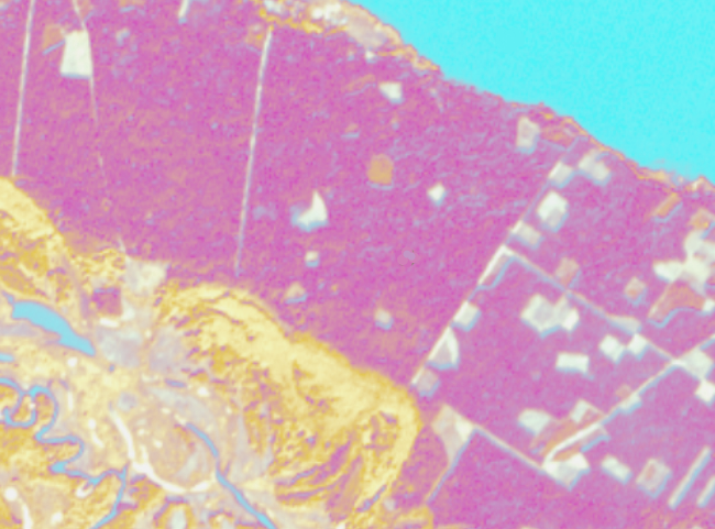
The main result of supervised satellite image classification process is the classification map. But apart from it, you can still get another result – the rule image. In this post, we will look at what it is. When we perform supervised image classification, the software calculates a mathematical criterion (which depends on the classification algorithm) […]
supervised classification
We have already posted a material about supervised classification algorithms, it was dedicated to parallelepiped algorithm. Now we are going to look at another popular one – minimum distance. In contrast with the parallelepiped classification, it is used when the class brightness values overlap in the spectral feature space (more details about choosing the right […]
The previous post was dedicated to picking the right supervised classification method. And this time we will look at how to perform supervised classification in ENVI. We will take parallelepiped classification as an example as it is mathematically the easiest algorithm. In ENVI working with any other type of supervised classification is very similar to […]
Image classification is a means of satellite imagery decryption, that is, identification and delineation of any objects on the imagery. Classification is an automated methods of decryption. The user does not need to digitize the objects manually, the software does is for them. According to the degree of user involvement, the classification algorithms are divided […]
Modern software for satellite image processing offers its users a wide range of supervised classification algorithms (more detail can be found here). It yields powerful capabilities for automation of the image interpretation process. In return for that, a user should make training areas of high quality. It is this quality what defines the accuracy of the […]