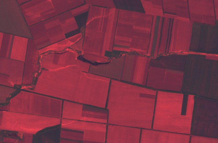
It seems that our previous posts have shown all the complicity and importance of soil map creation process. Remote sensing (RS) is a powerful and promising tool for improving this process. This term can be interpreted very freely, it covers various means of obtaining information, depending on the electromagnetic wave range used, equipment applied and […]