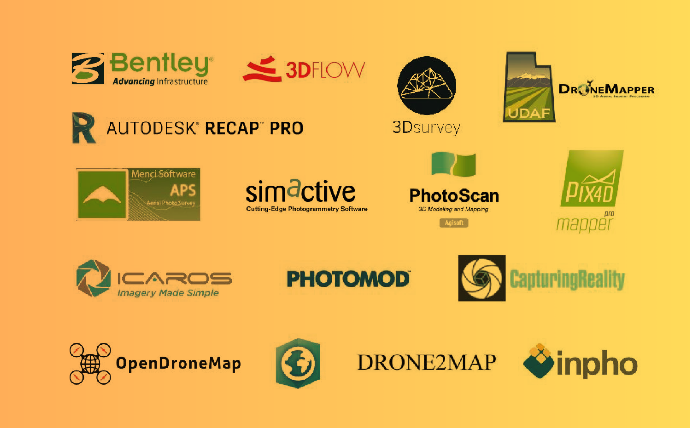
Unmanned aerial vehicles are becoming more and more available together with drone acquired imagery/data, this contributes a lot to the development of automated photogrammetric processing. Products like Pix4Dmapper, ContextCapture, PhotoScan and many others have formed a distinguished class. The software products, that we are going to discuss here, are intended to solve similar problems that […]

