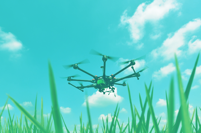
Unmanned aerial vehicles have quickly entered our daily reality. And if a few years ago a flying drone in the sky gathered the attention of passers-by, nowadays the squeezing of drones is just another component of the city noise. But the drones used by wedding photographers and video bloggers are just the tip of the […]
сільське господарство
One of the simplest and most common classifications of drones is their division into amateur and professional classes. However, for drones used in agriculture, this kind of classification is not very relevant, since almost all such drones belong to the professional segment. Therefore, most of the UAVs are divided into two large categories, namely fixed-wing […]
Today, geographic information technologies in Ukraine are still seen as novelty. Considering how widely and how often they are used across the industries, then this statement is quite true. And even though there is a wide range of open source application solutions available, representatives of various sectors rarely use GIS for process optimization. One reason […]
Application of unmanned aerial vehicles (UAVs) in agriculture has reasonable prospects, however, introduction of drones in the field and their market promotion is facing some difficulties. For example, using UAVs for spraying the crops is more or less clear for both the supplier and consumer, and all difficulties are placed in the price issue. Whereas […]
This post will tell in detail about what GPS monitoring is and what kind of methods are used. GPS monitoring is a system used to track moving objects. It is based on satellite navigation, cellular technology, specialized equipment and digital mapping. This kind of system enables tracking of the following parameters: ০ locations and movement […]