idb-cover

One of the most important discoveries in the field of earth observation is the discovery of spectral indices. At dawn of the development of this branch, it turned out that in many cases the analysis of spectral reflectance in certain spectral zones was not enough. In some cases, the ratios or differences of reflection of […]

Читати далі »

auto-change-detection

One of the main tasks of Earth observation is the monitoring of objects and phenomena on its surface. The regularity of the satellite remote sensing allows for constant monitoring and quick detection and evaluation of changes in natural and transformed landscapes. This information is very useful and is applied in land use management, forest management, […]

Читати далі »

soil-humus

Determination of humus content in soils based on remote sensing materials is the most detailed methodological and practical section of the remote monitoring of soils. It is already widely used in practice and has credible results. With the right technology, the error of remote humus determination is not greater than the error of laboratory analytical […]

Читати далі »

soil-from-space

It seems that our previous posts have shown all the complicity and importance of soil map creation process. Remote sensing (RS) is a powerful and promising tool for improving this process. This term can be interpreted very freely, it covers various means of obtaining information, depending on the electromagnetic wave range used, equipment applied and […]

Читати далі »

GIScourses2017

We’ve prepared a list of upcoming free online courses in GIS, remote sensing and other useful things. Below you can also find the courses that can be taken anytime. Feel free to add more links in the comments!   Data Analysis and Interpretation Specialization Data Management and Visualization Data Analysis Tools Machine Learning for Data […]

Читати далі »

ft-mcmurray_

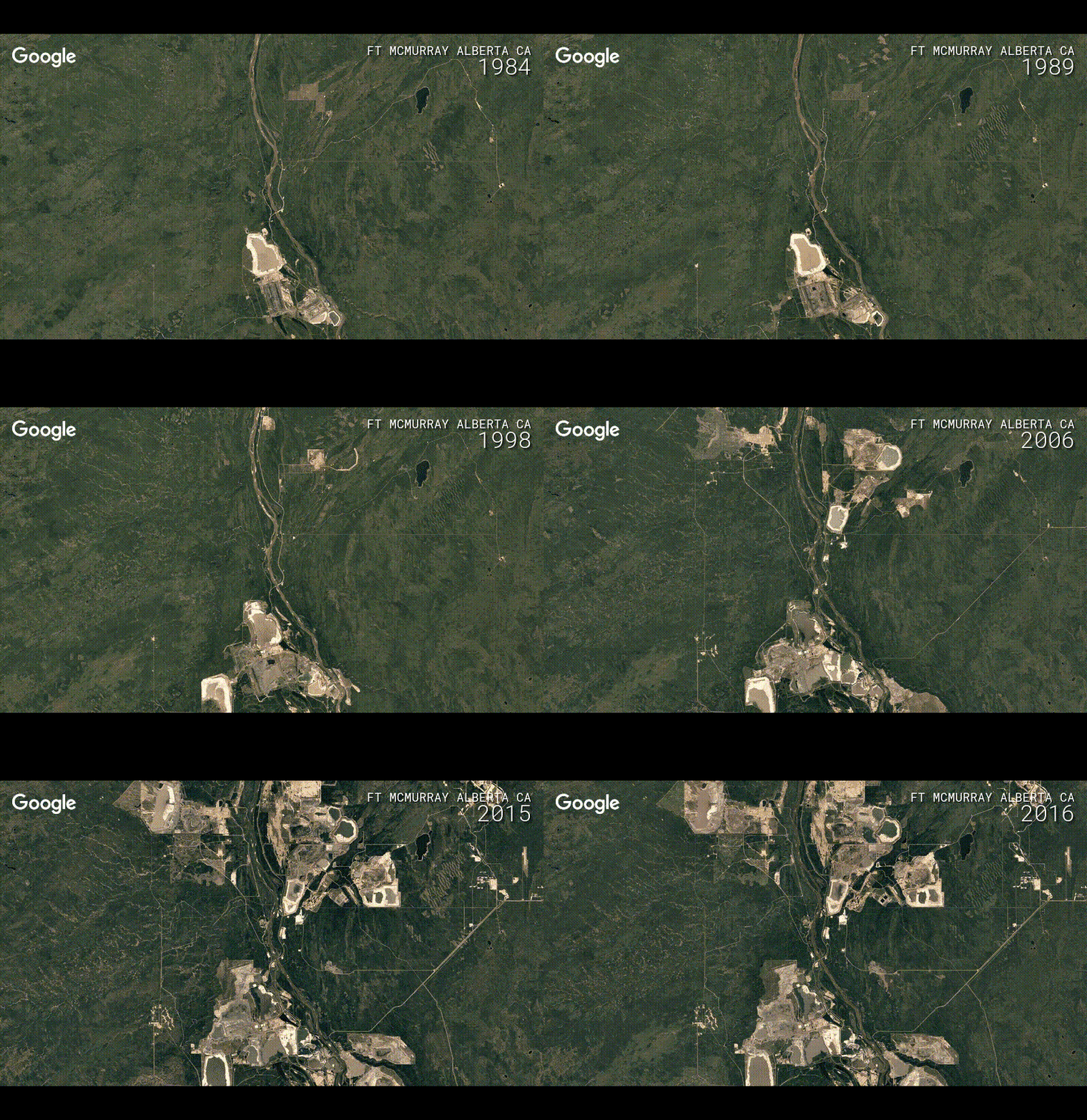
Like many others, we are fascinated by Google Timelapse. And decided to write a few words about this service and give a small digest of links reviewing it. On the 29th of November Google have announced the update to their Timelapse feature. Now everyone can travel in space-time, going back in time 32 years, up to […]

Читати далі »

RS-and-archeology

Today we will talk a little about archeology. Usually this science is associated with digging up something very old to see if it sheds any light at the past historic events or the way we interpret them. A while ago I had a chance to work at archaeological sites myself. But girls usually get a […]

Читати далі »

ROI-separability-envi

Modern software for satellite image processing offers its users a wide range of supervised classification algorithms (more detail can be found here). It yields powerful capabilities for automation of the image interpretation process. In return for that, a user should make training areas of high quality. It is this quality what defines the accuracy of the […]

Читати далі »

earth-emitted-radiation

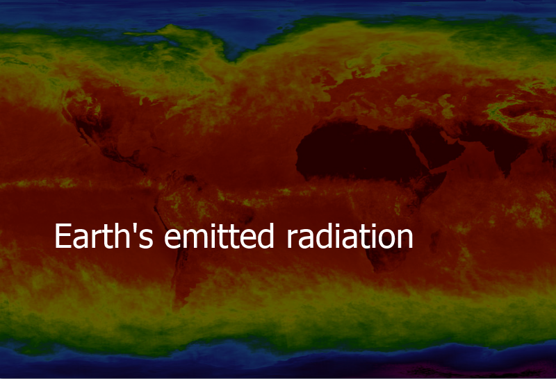
Bodies emit radiation. The warmer the body the more the emittance. When we look at the Sun, or even feel it on our skin without actually seeing it, we definitely know that it emits radiation. Especially when we forget about sunscreen. From Wien’s displacement law we can learn that the peak radiation of a black […]

Читати далі »

GIS-agriculture

Today, geographic information technologies in Ukraine are still seen as novelty. Considering how widely and how often they are used across the industries, then this statement is quite true. And even though there is a wide range of open source application solutions available, representatives of various sectors rarely use GIS for process optimization. One reason […]

Читати далі »