We’ve prepared a list of upcoming free online courses in GIS, remote sensing and other useful things. Below you can also find the courses that can be taken anytime. Feel free to add more links in the comments! Data Analysis and Interpretation Specialization Data Management and Visualization Data Analysis Tools Machine Learning for Data […]
освіта
In February 2016, Secondary Cities project kicked off in Kharkiv, Ukraine. It is carried out by Humanitarian Information Unit of US State Department in collaboration with American Association of Geographers and Colorado State University. Secondary Cities project aims to “build partnerships to create geospatial capacity, enhance understanding through data and mapping and enable science-based decision […]
The scientists like terminology, especially when our own branch of science is in need of a name. There is a whole variety of disciplines related to the handling of spatial data. And lately the term “geomatics” has become quite spread. It is used in scientific articles, names conference sections and training courses. Within this post, […]
People say, that ability to make right decisions and to have a professional realization is a function of education. While formula for the function probably varies from person to person and remains a mystery to a certain degree, we can definitely influence the quality of the input – and that is, education. We claim, that […]
This post’s title partially repeats a topic of my speech at a wonderful open GIS user meeting which took place at the Institute of Geography [of the National Academy of Sciences of Ukraine] at the end of January. But like in any other public speech the most important things were not those said by me, […]
While term ‘geospatial’ is becoming more and more trendy, many do still not know what hides behind the term. List of reasons for learning some geomatics as soon as possible could probably make a whole dedicated post. This time though, we won’t be convincing you that geospatial technology is amazing, but will give a list […]
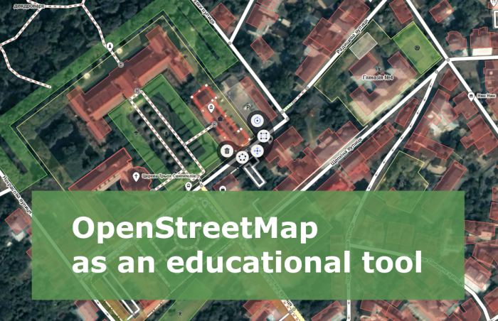
When I need to explain what OpenStreetMap (OSM) is, I say something like “Have you heard of Wikipedia? Well, it’s the same but for cartography”. Some of my colleagues may call this answer primitive, remind of Wikimapia, dozens of other crowdsourced services, or even may imply that “drawing lines on the Internet” has nothing to […]
Teaching GIS is quite an important part of the general process for nature resource management education. The training curriculum for various specialties now includes learning the basics of professional GIS. But unfortunately Ukrainian universities face an ever relevant problem in GIS education: lack of funds. Software prices reach up to several thousands USD per user. […]