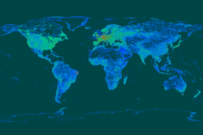
Why take part in OpenStreenMap project? Andrey Golovin, one of the famous Ukrainian osmers, was trying to help us figure this out. You can read the first part of our conversation here. OpenStreet Map At the beginning, the users understand the map as a graphical representation on the website. And they begin to draw. […]
OSM
Last year I had an opportunity to talk with Andrey Golovin. He is a dedicated osmer who spent 1,500 days over 8 years for mapping, helped add to the map, among other things, the city of Dnipro, made thousands of edits and posts on OSM forum and wiki. Andrey spoke about how he became who he is today. This is a […]
In little less than two weeks, on June 4th, an unprecedented in Ukrainian terms event will take place in Kyiv. This will be Map Solutions conference. The purpose of this event is to gather on one stage the leading developers of map and geolocation services with significant experience in this area. Developers and managers from […]
OpenStreetMap (OSM) is one of the most promising web platforms for the crowdsourced mapping of the world. Openness, simple editing, advanced documentation and an active community are the main OSM advantages over other web solutions that claim to be global. OSM tags The main OSM advantage is, as for me, its extensibility. Anyone can initiate […]
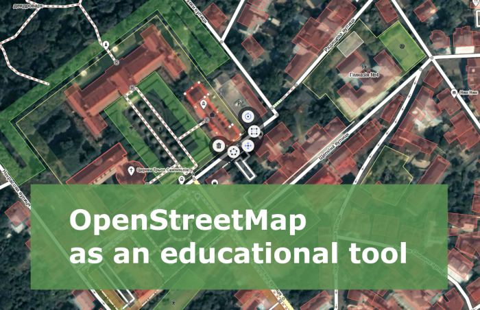
When I need to explain what OpenStreetMap (OSM) is, I say something like “Have you heard of Wikipedia? Well, it’s the same but for cartography”. Some of my colleagues may call this answer primitive, remind of Wikimapia, dozens of other crowdsourced services, or even may imply that “drawing lines on the Internet” has nothing to […]