Can the authorities use open licence software in their work? Regarding this question, there are certain manipulative statements, which are fueled on the one hand by ignorance of the specifics of creating and licensing open source software, and on the other – by the high competition of software manufacturers and their desire to maintain their […]
open source
Last year I had an opportunity to talk with Andrey Golovin. He is a dedicated osmer who spent 1,500 days over 8 years for mapping, helped add to the map, among other things, the city of Dnipro, made thousands of edits and posts on OSM forum and wiki. Andrey spoke about how he became who he is today. This is a […]
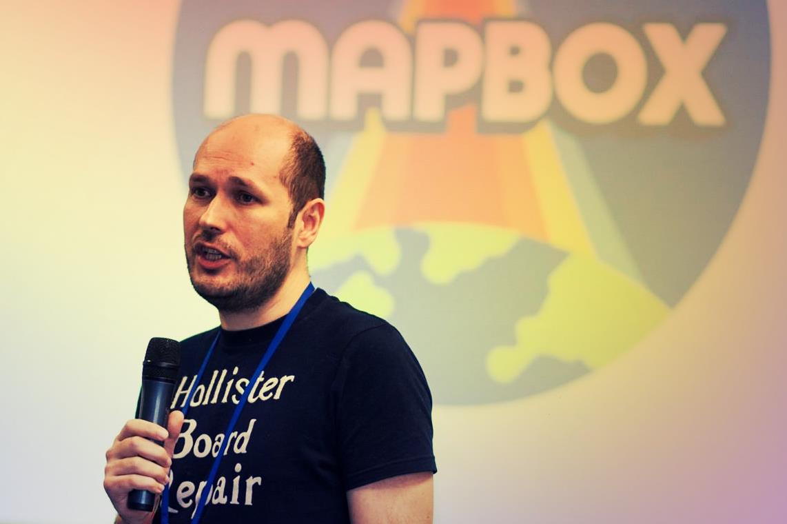
In early June this year Intellias company hosted the second “Map Solutions” conference in Kyiv. A brief overview can be found here. Today we will take a closer look at the speech of Vladimir Agafonkin, a well-known developer of the Leaflet library. Quoting his LinkedIn profile, Vladimir is a lead JavaScript Engineer at Mapbox, an […]
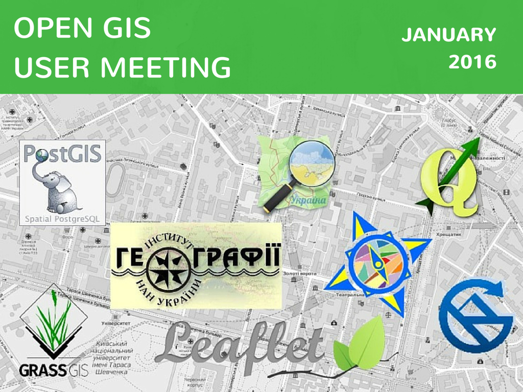
This post’s title partially repeats a topic of my speech at a wonderful open GIS user meeting which took place at the Institute of Geography [of the National Academy of Sciences of Ukraine] at the end of January. But like in any other public speech the most important things were not those said by me, […]
Last Saturday, on the 30th of January, a meeting of the open GIS users took place. This meeting brought some surprises to both organizers and participants. Find more details about the event from Oleksandr Golubtsov – our author and one of this meeting initiators. Enjoy it! 120! That’s how many people gathered at Open GIS Users Meeting […]
Teaching GIS is quite an important part of the general process for nature resource management education. The training curriculum for various specialties now includes learning the basics of professional GIS. But unfortunately Ukrainian universities face an ever relevant problem in GIS education: lack of funds. Software prices reach up to several thousands USD per user. […]
Data is becoming more and more accessible nowadays. It’s amazing how the community is working together to provide open data and software to anyone needing it. The original version of this post has been created for Ukrainian readers. You can have a look at it in Ukrainian. It compiles some generic open geodata sources and […]