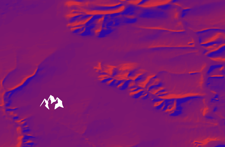
Building a DTM in ArcMap and parameters used Let’s discuss building a DEM from digitized elevation contours of the topographic map using ArcGIS. Our task We obtained digitized elevation contours of topographic plans of 1: 1000 scale covering Kharkiv Lesopark (“forest park”) and some surrounding areas. We were eager to create a digital elevation […]
