post-processing-envi

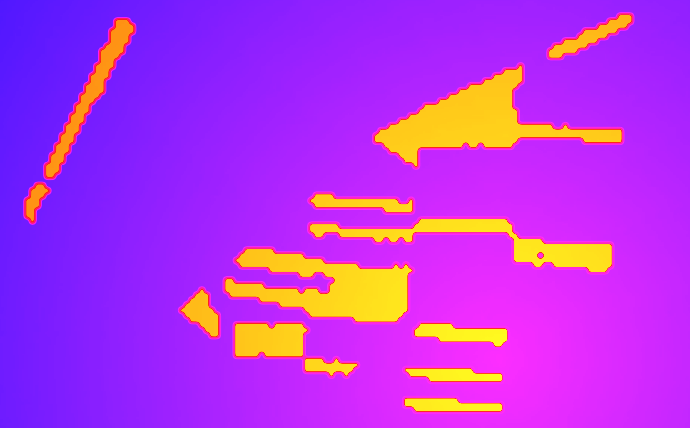
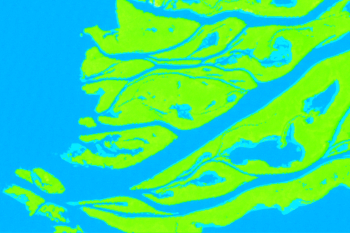
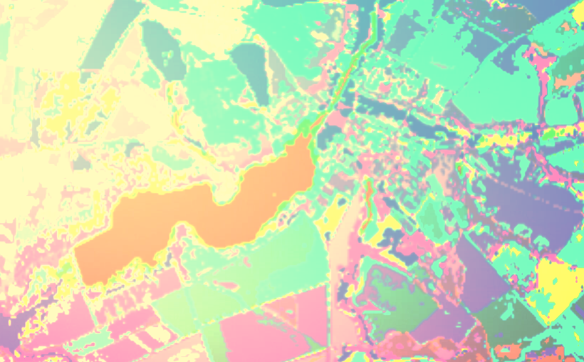
When we perform image classification, we try to get the best possible result. Despite this, often the result of the classification, although good, is not perfect. And no classification procedure settings can improve the accuracy of class recognition. In this case, it is possible to improve the result using post-processing algorithms. They include procedures for combining […]

Читати далі »

change-detection

This post is already the third one from a series of methods for automated change detection. Both past posts talked about different ways of directly comparing multi-temporal satellite images. But you can instead compare the thematic classification maps that are created separately for each image. The general scheme for finding changes by comparing multi-temporal classification […]

Читати далі »

change-detection-scatter-plot

The analysis of the multidimensional spectral feature space is a very useful tool for decoding multiband satellite images. Its use helps to choose the optimal classification algorithm. You can also directly classify objects in a multidimensional spectral feature space, and then transfer them to two-dimensional geographic space of the space image. These two areas of […]

Читати далі »

auto-change-detection

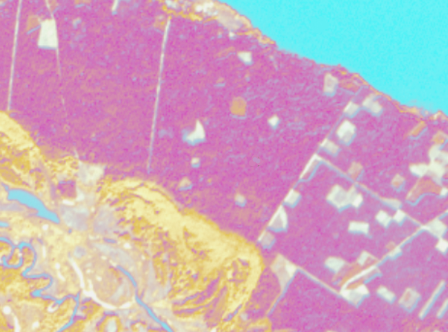
One of the main tasks of Earth observation is the monitoring of objects and phenomena on its surface. The regularity of the satellite remote sensing allows for constant monitoring and quick detection and evaluation of changes in natural and transformed landscapes. This information is very useful and is applied in land use management, forest management, […]

Читати далі »

rule-images-p1

The main result of supervised satellite image classification process is the classification map. But apart from it, you can still get another result – the rule image. In this post, we will look at what it is. When we perform supervised image classification, the software calculates a mathematical criterion (which depends on the classification algorithm) […]

Читати далі »

parallelepiped-classification

The previous post was dedicated to picking the right supervised classification method. And this time we will look at how to perform supervised classification in ENVI. We will take parallelepiped classification as an example as it is mathematically the easiest algorithm. In ENVI working with any other type of supervised classification is very similar to […]

Читати далі »

supervised-classification

Image classification is a means of satellite imagery decryption, that is, identification and delineation of any objects on the imagery. Classification is an automated methods of decryption. The user does not need to digitize the objects manually, the software does is for them. According to the degree of user involvement, the classification algorithms are divided […]

Читати далі »

confusion-matrix

Applying any classification algorithm to interpret a remotely sensed image we are always interested in the result accuracy. The simplest way to assess it is the visual evaluation. Comparing the image with the results of its interpretation, we can see errors and roughly estimate their size. But if we need a reliable accuracy assessment, we […]

Читати далі »

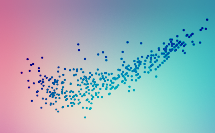
scatter-plot-

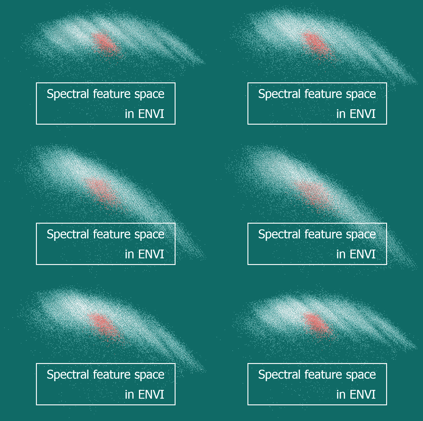
There are different ways to illustrate objects’ spectral brightness variation when moving between different spectral ranges. If it has to be shown for a single pixel of an image or generalized for a group of pixels, then spectral brightness curves are used. And what has to be done when one wishes to display spectral characteristics […]

Читати далі »

ROI-separability-envi

Modern software for satellite image processing offers its users a wide range of supervised classification algorithms (more detail can be found here). It yields powerful capabilities for automation of the image interpretation process. In return for that, a user should make training areas of high quality. It is this quality what defines the accuracy of the […]

Читати далі »