Popular
photogrammetry
Review: UAV image processing software

Unmanned aerial vehicles are becoming more and more available together with drone acquired imagery/data, this contributes a lot to the development of automated…

ROI-separability-envi
Supervised classification help: ROI separability
spatial-autocorr
Incremental spatial autocorrelation in ArcGIS
tips-drones
Tips for getting started with drones
supervised-classification
How to pick the best supervised classification method?
Recent Posts
Read More > mobile-tech-football
Mobile technologies and football
31/05/2017 | 0 | 1311

There is absolutely no doubt that football is the most popular sport in the world. The sheer…

Read More > visa-map-ukraine1
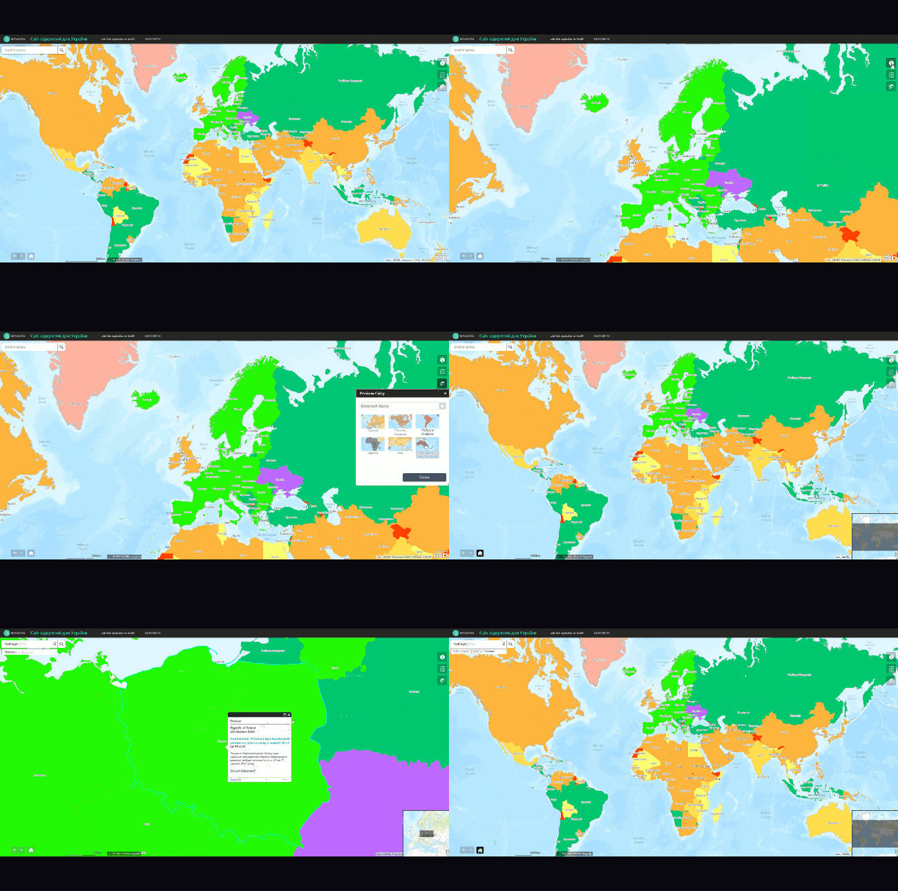
World open for Ukrainians: web-map of visa regime
29/05/2017 | 0 | 4353

The world is becoming more open for the Ukrainians. On the 17th of May 2017, citizens of…

Read More > digitals
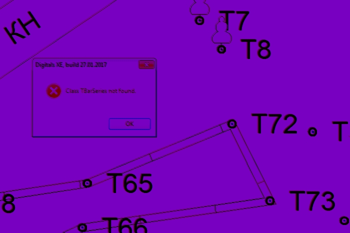
Digitals. Reviewing the main surveyor’s tool in Ukraine
18/05/2017 | 2 | 9318

At the end of 2016, the university I teach in has purchased Digitals license. This software is…

Read More > GIScourses2017
Free online GIS courses and more, 2017 edition
11/05/2017 | 0 | 6158

We’ve prepared a list of upcoming free online courses in GIS, remote sensing and other useful things. Below you…

Read More > geodigest-4-17
Geodigest. 4/2017
05/05/2017 | 0 | 1709

Dates
May 15th-19th – GIS Naroch 2017 seminar will take place in Belarus.

Read More > parallelepiped-classification
Supervised image classification using parallelepiped algorithm
18/04/2017 | 2 | 19483

The previous post was dedicated to picking the right supervised classification method. And this time we will…

Read More > OpenStreetMap-Golovin-Interview
About OpenStreetMap with Andrey Golovin
04/04/2017 | 0 | 2654

Why take part in OpenStreenMap project? Andrey Golovin, one of the famous Ukrainian osmers, was trying to help us…

Read More > digest-3-17
Geodigest. 3/2017
27/03/2017 | 0 | 1650

Read our periodic collection of news and interesting facts from the world of Geo.

Also feel…

Read More > DEM-from-countour-lines
Building DEM in ArcGIS with contour data
21/03/2017 | 0 | 11483

Building a DTM in ArcMap and parameters used

Let’s discuss building a DEM from digitized elevation contours of the topographic…

Read More > Untitled
GIS-Forum 2017. Margin notes
14/03/2017 | 0 | 2794

Geography Department of Kharkiv National University recently held GIS-Forum, perhaps the most important and the most anticipated annual event…