Unmanned aerial vehicles are becoming more and more available together with drone acquired imagery/data, this contributes a lot to the development of automated…



One of the simplest and most common classifications of drones is their division into amateur and professional…
On July 27th, 2017, Drone.ua announced the establishment of a “Professional Union of Drone Journalists” (PUDJ), which,…
In a previous post, a web application was described, created using the ArcGIS Online service and the…
Soft
The GeoBlacklight software stack consists of several open source…
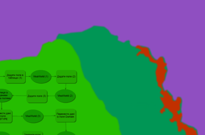
Determination of humus content in soils based on remote sensing materials is the most detailed methodological and…
The use of UAVs is spread in many areas of activity (we’ve talked about it in
We have already posted a material about supervised classification algorithms, it was dedicated to
Dates
QGIS user conference, Hackfest, Developer meeting. August 2 -11. Registration is open.
Maps and the Geospatial…
Dates
Copernicus Masters closes on June 30th 2017.
July 5-7th AGIT 2017 Simposium.
July 8-11th – ESRI GIS conference.
Various…
It seems that our previous posts have shown all the complicity and importance of soil map creation…

