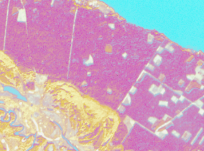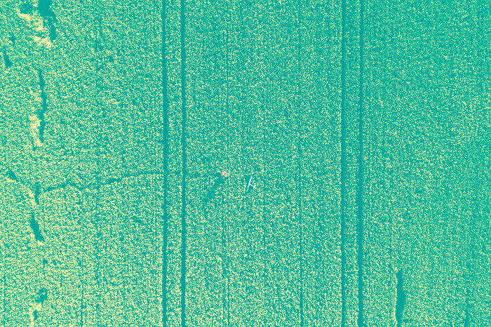
Unmanned aerial vehicles are becoming more and more available together with drone acquired imagery/data, this contributes a lot to the development of automated…

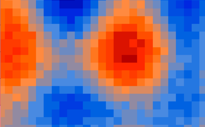
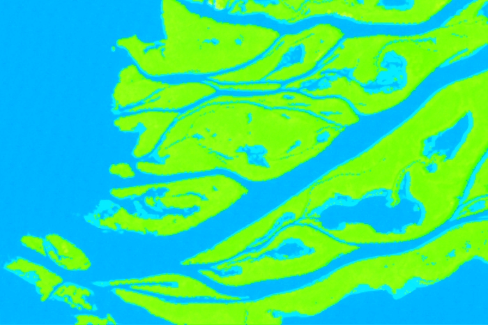
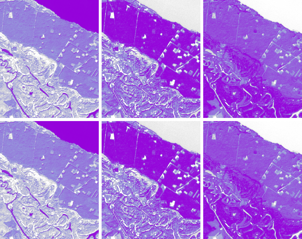
While performing supervised classification it is possible to obtain, in addition to the classified map, the rule images of…
Planet Labs is a startup created by former NASA employees. Planet is designing and manufacturing miniature remote sensing satellites…
Intellias is one of the few employers in Ukraine that offer positions in the area of geospatial…
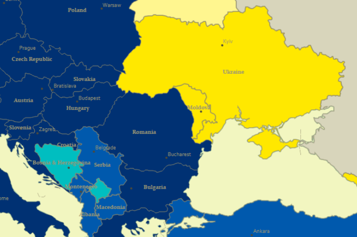
On September 1, 2017, the Agreement on Association of Ukraine with the European Union, the European Atomic Energy Community…
Dates
November 1, 2017 – December 12, 2017, The Location Advantage by ESRI (Registration closes November 15)
November 15,…
The main result of supervised satellite image classification process is the classification map. But apart from it,…
Unmanned aerial vehicles have quickly entered our daily reality. And if a few years ago a flying…
Effective work of the institutions of the Nature Reserve Fund (NRF) of Ukraine requires constant cartographic support, the use…
We are continuing the story about making the “Mode of entry of Ukrainian citizens to foreign countries”…
The 20th international conference of The Society for Conservation GIS (SCGIS) took place on 16-19 of July…

