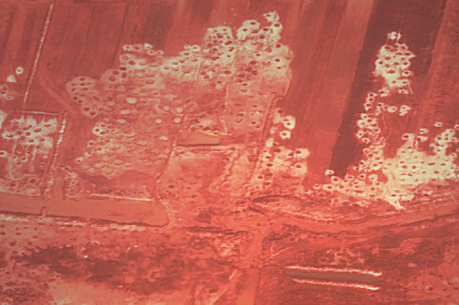
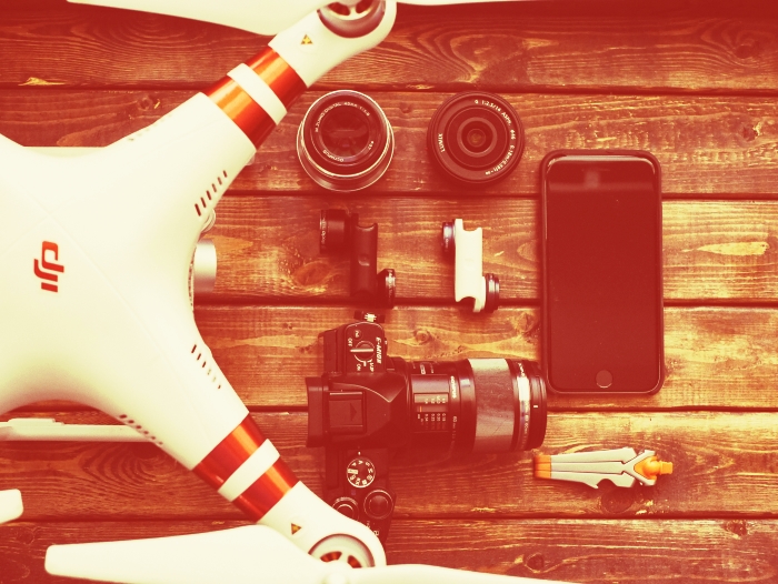
Unmanned aerial vehicles are becoming more and more available together with drone acquired imagery/data, this contributes a lot to the development of automated…

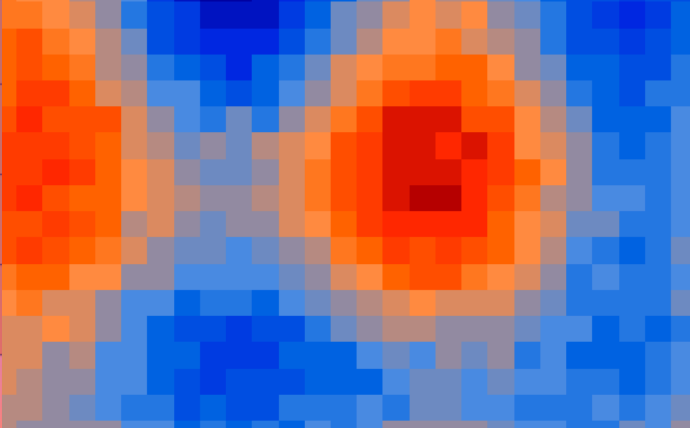
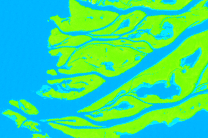
In a previous post on the topic of spatial statistics, we have shown how to define the…
When we want to take a look at new place but we have no opportunity to visit it –…
Earlier we have written about assessing classification accuracy. The post dealt with creating
Ukraine is rich in natural resources. However, such richness often bears to the nation not the prosperity…
There is a time in the lives of many people whose work is related to GIS, the…
This post begins a series of posts on the spatial statistics techniques. Spatial statistics is a cross-disciplinary field…
Laser scanning systems have long been used successfully for mapping and monitoring of the environment.
The range of application of…
Under conditions of climate change, degradation of transformed aquatic ecosystems and reduction of biodiversity many international scientists focus their…
GIS-Forum 2018 organizers invite students of higher education institutions to take part in the first stage of…
To sum up this passing year we have created a list of seven most popular posts in 2017. Have…


