Unmanned aerial vehicles are becoming more and more available together with drone acquired imagery/data, this contributes a lot to the development of automated…


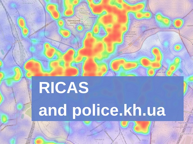
Last week we had invited representatives of Kharkiv police to have a frank conversation about something very important -…
This post is about cartography, corruption and philosophy. A weird combination, but it does make sense, I promise!
Last week…
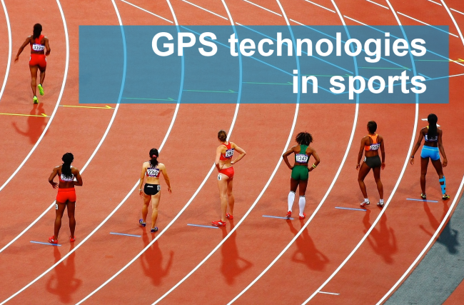
GPS-technologies in sport
Modern technological developments don’t bypass any area of human activity: be it science, technology, economic activity, culture,…
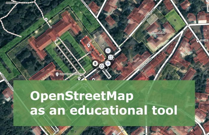
When I need to explain what OpenStreetMap (OSM) is, I say something like “Have you heard of Wikipedia?…
Last Saturday, on the 30th of January, a meeting of the open GIS users took place. This meeting brought…
Intro to Remote Sensing. Part 2.
This post is a part of small series on Earth observation basics.
In it you…
The analysis of the Ukrainian legislation shows a peculiar feature for drones – they fly freely, because…
Dear colleagues!
Our friends and partners – V. N. Karazin Kharkiv National University, GISINFO (East Office), Intetics Co (Kharkiv) -…
The use of unmanned aerial vehicles (UAVs), as well as any activity that could be potentially dangerous, obviously must…
During New Year holidays people want to take their mind from serious work issues and long technical science-oriented posts.This…

