Unmanned aerial vehicles are becoming more and more available together with drone acquired imagery/data, this contributes a lot to the development of automated…

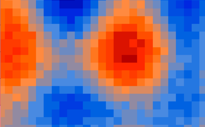


When talking about GIS in Ukraine, there are very few informational resources coming to mind, that could help in…
GIS-forum, a platform for geo related communacation, took place last week in Kharkiv, Ukraine. Here is a short review…
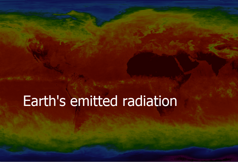
Bodies emit radiation. The warmer the body the more the emittance.
When we look at the Sun, or even feel…
Advancements in the modern GNSS (Global Navigation Satellite System) infrastructure, and, based on it, creation of networks of…
This post’s title partially repeats a topic of my speech at a wonderful open GIS user meeting which…
Today, geographic information technologies in Ukraine are still seen as novelty. Considering how widely and how often they are…
While term ‘geospatial’ is becoming more and more trendy, many do still not know what hides behind the term….
I’d like to talk to you about one interesting thing. Everyone “works” with it daily without realising it. We…
More and more GIS software products appear on the market these days. They do a great deal to both…
Agriculture – is one of the most promising sectors in terms of UAV use. Potentially UAV-conveyed surveys can give…


