1 вересня 2017 року набула чинності Угода про асоціацію України із Європейським Союзом, Європейським Співтовариством з атомної енергії і їхніми державами-членами – так звучить повна назва надважливої угоди нашої держави. Власне Угода про асоціацію була підписана у два етапи – 21 березня 2014 – політична частина, а 27 червня 2014 року – економічна. На сьогодні всі сторони ратифікували її, всі можливі процедури дотримані і Угода про асоціацію вступає в силу. Вона дає змогу Україні перейти до більш тісного співробітництва із Європейським Союзом у політичній, економічній та гуманітарній сферах. Наприклад, громадяни України вже мають можливість безвізового в’їзду до країн Шенгенської зони – вільного від прикордонного контролю простору у рамках Євросоюзу. (Також дивіться карту візового режиму України з країнами світу.)
Ми підготували Map Jornal із загальним оглядом фактів про Європейський Союз. У веб-застосунку представлені:
- країни ЄС із короткою характеристикою
- міста, де розміщені основні інституції ЄС,
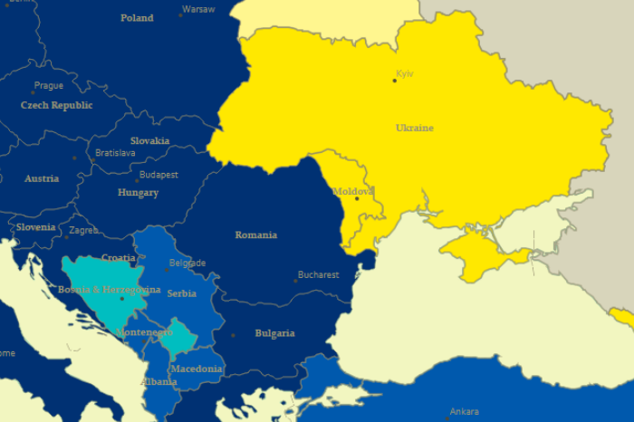
- найближчі сусіди ЄС та рівень їхнього співробітництва,
- TimeLine Map із хронологією розширення ЄС,
- країни Єврозони і Шенгенської зони.
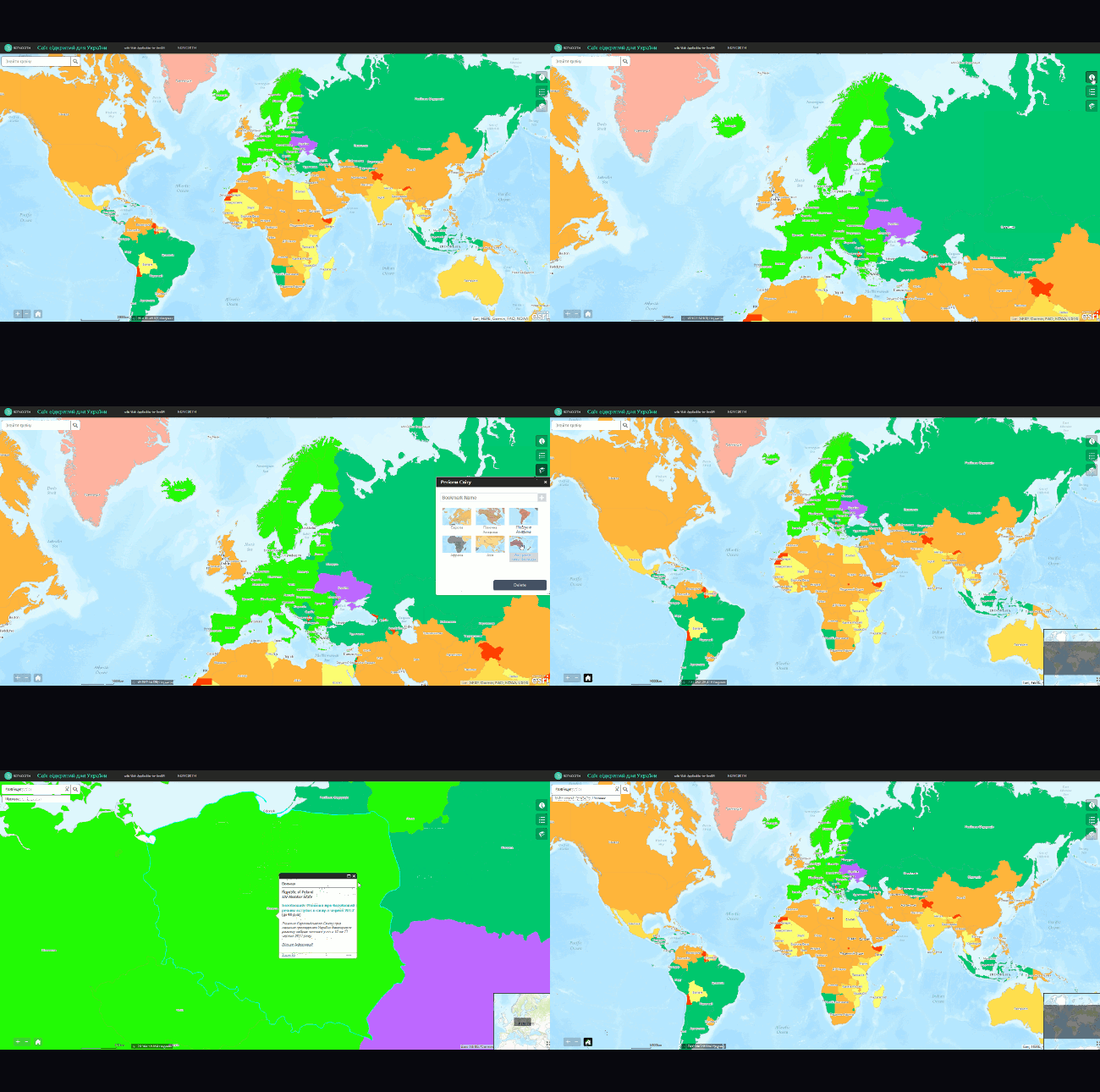
Веб-карти є інтерактивними; доступні функції виклику спливаючих інформаційних вікон (за кліком), запуск хронології через віджет, управління масштабом.
Веб-застосунок створено за допомогою ArcGIS Online. Вихідні тематичні шари та базова карта Світу підготовлені в ArcGIS Pro. Джерело даних – Офіційний веб-сайт Європейського Союзу; вихідні векторні дані для веб-карт та базової карти – веб-ресурс Natural Earth


