Sorry, this entry is only available in Ukrainian.
uav
It has been more than three years since we last reviewed Ukrainian legislation regulating the use of UAVs. Since then, there’s been so much water under the bridge, the situation has fundamentally changed. Legislation A more or less clear set of rules and constraints finally emerged in an uneasy, tumultuous and almost epic battle […]
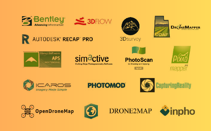
Unmanned aerial vehicles are becoming more and more available together with drone acquired imagery/data, this contributes a lot to the development of automated photogrammetric processing. Products like Pix4Dmapper, ContextCapture, PhotoScan and many others have formed a distinguished class. The software products, that we are going to discuss here, are intended to solve similar problems that […]
Laser scanning systems have long been used successfully for mapping and monitoring of the environment. The range of application of the system is very wide – from the construction of 3D models, mapping of coastline, forecasting landslides and floods, studying the habitats of animals, to assessing the effects of various environmental impacts. Lidar (from the […]
Unmanned aerial vehicles have quickly entered our daily reality. And if a few years ago a flying drone in the sky gathered the attention of passers-by, nowadays the squeezing of drones is just another component of the city noise. But the drones used by wedding photographers and video bloggers are just the tip of the […]
One of the simplest and most common classifications of drones is their division into amateur and professional classes. However, for drones used in agriculture, this kind of classification is not very relevant, since almost all such drones belong to the professional segment. Therefore, most of the UAVs are divided into two large categories, namely fixed-wing […]
Determination of humus content in soils based on remote sensing materials is the most detailed methodological and practical section of the remote monitoring of soils. It is already widely used in practice and has credible results. With the right technology, the error of remote humus determination is not greater than the error of laboratory analytical […]
The use of UAVs is spread in many areas of activity (we’ve talked about it in a previous post). Each of these areas requires specific approaches of drone preparation and operator training. Based on my own experience and the analysis of the experience of other specialists, I want to highlight the main aspects of the […]
It has finally happened! The State Aviation Administration of Ukraine worked out and published ‘guidelines for the owners of unmanned aircrafts’ in the form of understandable infographics (fig. 1). Fig. 1. Information for the operators of UAVs published on August 19, 2016 by the State Aviation Administration caused very mixed response in the drone community, […]
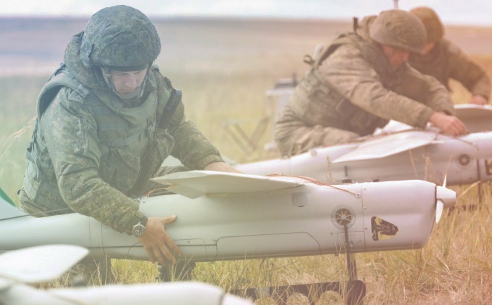
Unmanned aerial vehicles (UAVs) had always been the property of the military scientists, but recently some of these devices, such as drones and quadcopters, have gained a place in various areas of civil life. Every day, humanity finds new applications for them, making certain upgrades to these flying assistants. A bright future is predicted for […]