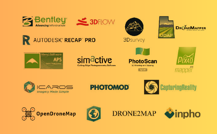
Такі програмні продукти як Pix4D, ContextCapture, Photoscan і інші були створені для швидкої побудови тривимірних моделей методом фотограмметрії. Особливо затребувані вони стали з появою доступних БПЛА, а разом з тим і можливістю швидко і дешево проводити зйомку з повітря. Таким чином виділився окремий клас програм автоматизованої фотограмметричної обробки матеріалів аерофотозйомки. Продукти, які ми розглянемо, покликані […]

