gis-v-spade

As we’ve already discussed in the post on soil maps, today Ukraine has an urgent need in updating them. Soil maps currently in use had become outdated at least 10-15 years ago. Surveys carried out to map soils are quite labor-intensive as they require a considerable number of soil pits to be laid and sampled. […]

Читати далі »

gis-personality-test

GIS has become so broad in the last years that while communicating with a colleague you may sometimes realize that you don’t quite understand what he or she is doing. Well, for yourself, too, it can be hard to explain your place and preferences in a GIS-world. Taking into account that classification has always been […]

Читати далі »

radioactive-fallout

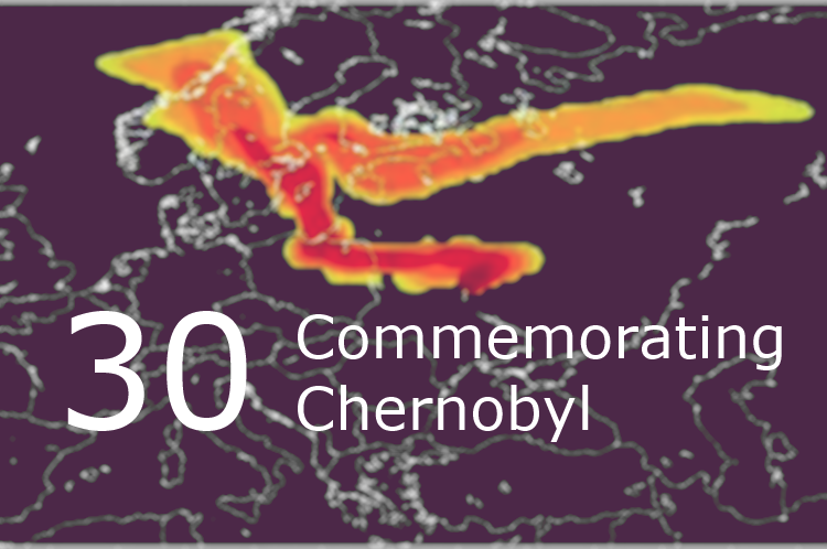
On April 26th, 1986 at 1:26am a fire alarm activated at Chernobyl nuclear power station. It was a sign of dramatic increase of reactor’s power and its overheating due to uncontrolled nuclear reaction that in a few moments caused hydrogen explosion. According to the official version there was an experiment carried out at the station, […]

Читати далі »

gis-forum-thesis

When talking about GIS in Ukraine, there are very few informational resources coming to mind, that could help in case one wants to go online and check current situation and projects running in the industry. While many people living in Ukraine are still oftentimes forced to refer to foreign resources in order to find tutorials […]

Читати далі »

GIS-forum-2016

GIS-forum, a platform for geo related communacation, took place last week in Kharkiv, Ukraine. Here is a short review by Yaroslav Smirnov telling mostly about the atmosphere of the event. GIS-forum 2016 has ended and I am writing this post on a train that slowly but steadily heads West from the East. As the overwhelming […]

Читати далі »

GIS-agriculture

Today, geographic information technologies in Ukraine are still seen as novelty. Considering how widely and how often they are used across the industries, then this statement is quite true. And even though there is a wide range of open source application solutions available, representatives of various sectors rarely use GIS for process optimization. One reason […]

Читати далі »

gis-online-courses-list

While term ‘geospatial’ is becoming more and more trendy, many do still not know what hides behind the term. List of reasons for learning some geomatics as soon as possible could probably make a whole dedicated post. This time though, we won’t be convincing you that geospatial technology is amazing, but will give a list […]

Читати далі »

GIS-forum-2016

Dear colleagues! Our friends and partners – V. N. Karazin Kharkiv National University, GISINFO (East Office), Intetics Co (Kharkiv) – are invinting you to contribute to the work of GIS-forum “Education. Science. Production” on 16-18 March 2016 in Kharkiv, Ukraine. More than 400 people from 70 different organization from Ukraine, Russia, Georgia, Armenia and Kazakhstan  participated in GIS-forum in 2012-2015. The main […]

Читати далі »