Unmanned aerial vehicles are becoming more and more available together with drone acquired imagery/data, this contributes a lot to the development of automated…



Happy holidays! We want to wish you all the best this holiday season and make a special gift! We…
Dear GIS community! Happy New Year! It seems to be a dream but 2016 is moving from future into…
Teaching GIS is quite an important part of the general process for nature resource management education. The training curriculum…
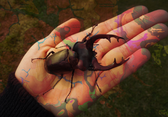
Lately there has been a rise in building age maps. One of the first maps of this kind was…
Pyriatynskyi national nature park web app development using Web AppBuilder for ArcGIS
Why would a national park need a web…
Holidays always seem to come unexpectedly. Have you already prepared your presents? If not, have no fear! We have…
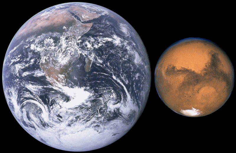
In this post we will try to search for the Martian on the surface of the planet.
In a way…
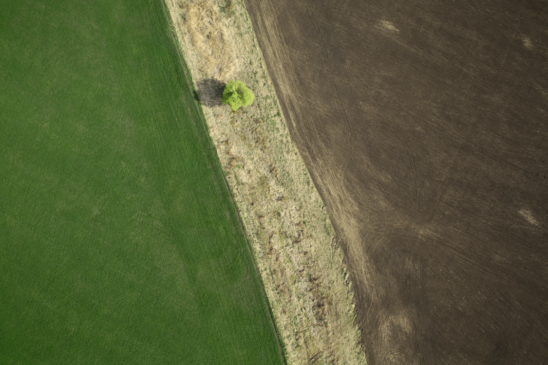
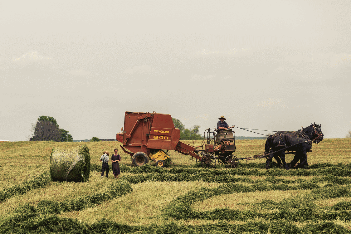
Application of unmanned aerial vehicles (UAVs) in agriculture has reasonable prospects, however, introduction of drones in the field and…
This post will tell in detail about what GPS monitoring is and what kind of methods are used.
GPS monitoring…
In this post you will learn about several mobile GIS and data collection apps, some of their strengths and…


