Popular
photogrammetry
Review: UAV image processing software

Unmanned aerial vehicles are becoming more and more available together with drone acquired imagery/data, this contributes a lot to the development of automated…

ROI-separability-envi
Supervised classification help: ROI separability
spatial-autocorr
Incremental spatial autocorrelation in ArcGIS
tips-drones
Tips for getting started with drones
supervised-classification
How to pick the best supervised classification method?
Recent Posts
Read More > gis-forum-thesis
5th GIS Forum in Kharkiv, Ukraine. Main points
25/03/2016 | 0 | 2630

When talking about GIS in Ukraine, there are very few informational resources coming to mind, that could help in…

Read More > GIS-forum-2016
5 reasons to visit GIS-forum
22/03/2016 | 0 | 2662

GIS-forum, a platform for geo related communacation, took place last week in Kharkiv, Ukraine. Here is a short review…

Read More > earth-emitted-radiation
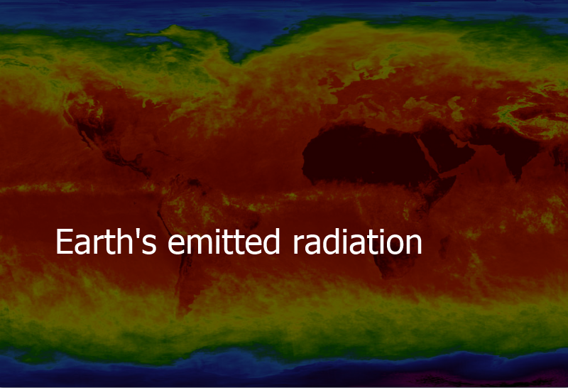
What do Earth’s surface temperature and emittance tell us?
18/03/2016 | 0 | 10541

Bodies emit radiation. The warmer the body the more the emittance.
When we look at the Sun, or even feel…

Read More > Reference-Networks
Foreign experience in reference networks creation
15/03/2016 | 0 | 2155

Advancements in the modern GNSS (Global Navigation Satellite System) infrastructure, and, based on it, creation of networks of…

Read More > open_gis_education_issues
Why I only say I love QGIS, or Open GIS in Ukrainian education
11/03/2016 | 0 | 2685

This post’s title partially repeats a topic of my speech at a wonderful open GIS user meeting which…

Read More > GIS-agriculture
GIS in agriculture of Ukraine: need surpasses offer
09/03/2016 | 0 | 3997

Today, geographic information technologies in Ukraine are still seen as novelty. Considering how widely and how often they are…

Read More > gis-online-courses-list
Free online GIS courses to pick up in 2016
04/03/2016 | 2 | 18290

While term ‘geospatial’ is becoming more and more trendy, many do still not know what hides behind the term….

Read More > Terrain
Concerning terrain
01/03/2016 | 0 | 6102

I’d like to talk to you about one interesting thing. Everyone “works” with it daily without realising it. We…

Read More > ArcGIS_Pro
Using ArcGIS Pro for web-map creation and publication
25/02/2016 | 0 | 6292

More and more GIS software products appear on the market these days. They do a great deal to both…

Read More > crop_assessment
Evaluating crop characteristics in the visible range
23/02/2016 | 0 | 12652

Agriculture – is one of the most promising sectors in terms of UAV use. Potentially UAV-conveyed surveys can give…