Unmanned aerial vehicles are becoming more and more available together with drone acquired imagery/data, this contributes a lot to the development of automated…
Remember when you traveled to other cities just a decade ago? First thing upon your arrival you rushed to…
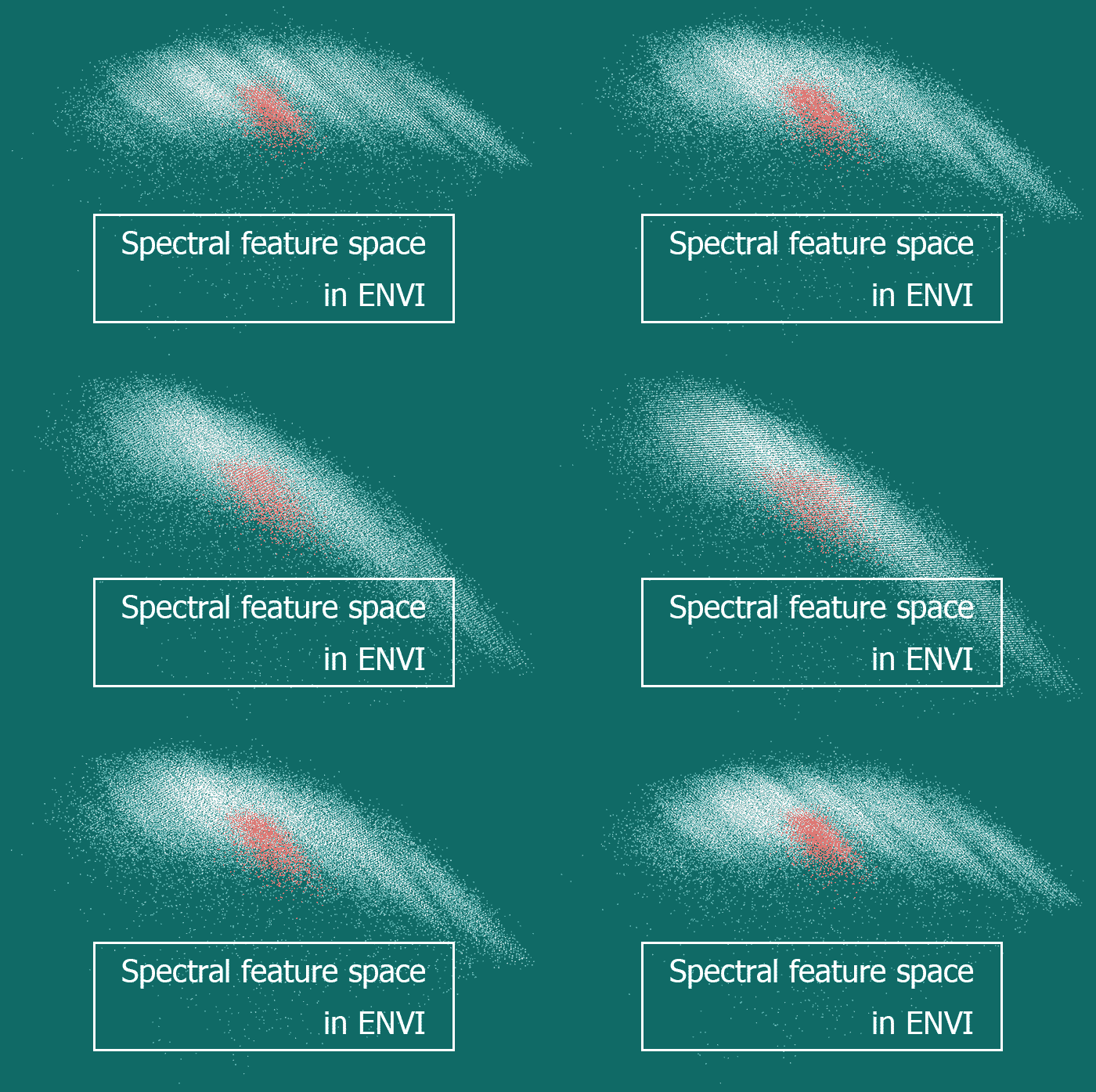
There are different ways to illustrate objects’ spectral brightness variation when moving between different spectral ranges. If it has…
OpenStreetMap (OSM) is one of the most promising web platforms for the crowdsourced mapping of the world. Openness, simple…
More and more people are traveling every year, while less and less of them are using conventional paper maps.
Just…
Have a look at our digest reviewing news and interesting facts, a periodic selection of all things geo. Feel…
Today we will talk a little about archeology. Usually this science is associated with digging up something very old…
How can a DEM be used practically? How to turn DEM into a map of slopes or aspects, and how…
What is a soil map? What is it for? How are soil maps composed? What is the current situation…
Dear readers! Today, we propose you to have fun a little bit. We prepared a small trivia quiz in…
Modern software for satellite image processing offers its users a wide range of supervised classification algorithms (more detail can…

