All spatial documentation in Ukraine – comprehensive plans for the spatial development of an area of some territorial community, general plans of settlements, detailed plans of the territory must be developed in the form of an electronic document, which is created in the form of a file package and must also contain a geodatabase transmitted […]
Open Data
Can the authorities use open licence software in their work? Regarding this question, there are certain manipulative statements, which are fueled on the one hand by ignorance of the specifics of creating and licensing open source software, and on the other – by the high competition of software manufacturers and their desire to maintain their […]
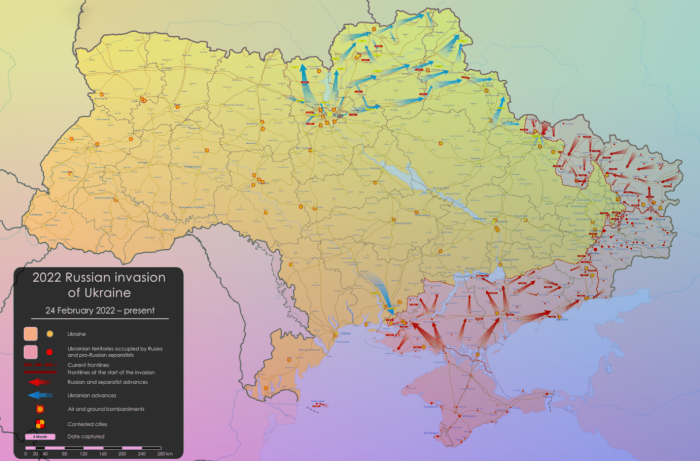
We have collected a series of maps and resources related to the Russian invasion to Ukraine. Feel free to add more links in the comments below. Maps Air strike alert map of Ukraine Interactive online map of military activity in Ukraine and @DeepStateMapBot telegram chatbot to follow the updates ukraine.bellingcat.com – This map plots […]
Idea 30DayMapChallenge has begun on Twitter by Finnish geographer Topi Tjukanov. Challenge rules are very simple. Throughout November participants publish maps with the hash-tag #30DayMapChallenge. Each day has its own topic. For instance, the topic for the 1st of November was Points and on November 25th everyone should publish some interactive map. Pic 1. Map […]
If you are following the conservation of protected areas, love to travel around interesting places of Ukraine, constantly take pictures and encourage others to travel – here is a contest for you! Two seas, steppes, forests, mountains, rivers, wetlands, and even our own vast desert are all parts of the country we live in! Some […]
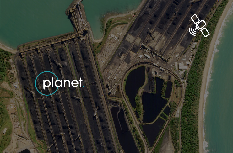
Planet Labs is a startup created by former NASA employees. Planet is designing and manufacturing miniature remote sensing satellites called Doves. The constellation of Dove satellites provides a global coverage with images of 3-5 m resolution, part of the data is in open access. It proves that “the sky in the limit” saying not true […]
Why take part in OpenStreenMap project? Andrey Golovin, one of the famous Ukrainian osmers, was trying to help us figure this out. You can read the first part of our conversation here. OpenStreet Map At the beginning, the users understand the map as a graphical representation on the website. And they begin to draw. […]
Last year I had an opportunity to talk with Andrey Golovin. He is a dedicated osmer who spent 1,500 days over 8 years for mapping, helped add to the map, among other things, the city of Dnipro, made thousands of edits and posts on OSM forum and wiki. Andrey spoke about how he became who he is today. This is a […]
The European Space Agency is working on a family of satellite missions called the Sentinels. These missions are owned and managed by the EU as part of the Copernicus programme, that is said to be one of the most ambitious Earth observation programmes to date. It aims to give timely, accurate and accessible information for […]
According to the UN, more than 54% of the global population lives in urban areas. Of course, the concept of “city” depending on a continent and a country. But regardless of the location all urban residents are united by their inclination to live in a safe, comfortable and attractive environment. Shaping of this environment relies […]