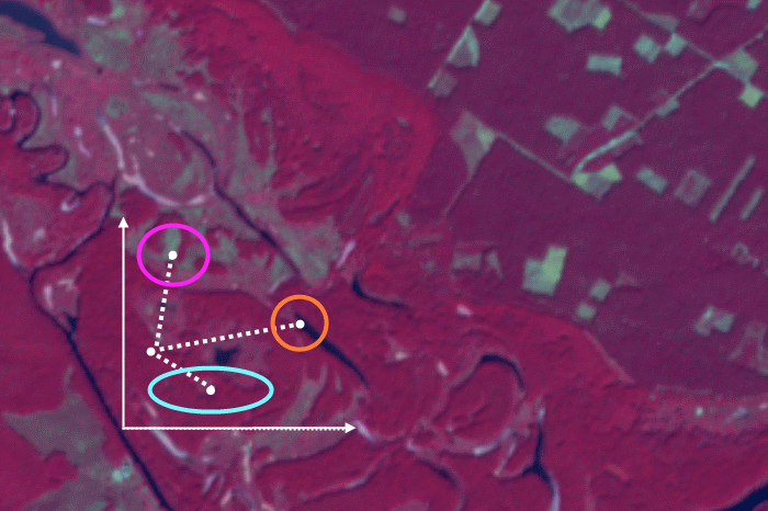
The main result of supervised satellite image classification process is the classification map. But apart from it, you can still get another result – the rule image. In this post, we will look at what it is. When we perform supervised image classification, the software calculates a mathematical criterion (which depends on the classification algorithm) […]
SCGIS
Effective work of the institutions of the Nature Reserve Fund (NRF) of Ukraine requires constant cartographic support, the use of remote sensing data, biodiversity data analysis, recreational use, and much more. When starting to work in the national park Anton Biatov (now a nature protection GIS-specialist) and I needed new knowledge for working with spatial […]
The 20th international conference of The Society for Conservation GIS (SCGIS) took place on 16-19 of July in 2017. For the 20th time, conservation specialists, actively using GIS in their work, gathered in a beautiful place on the Pacific coast to discuss how to use GIS as efficiently as it is possible. Conference Usually, more […]
We have already posted a material about supervised classification algorithms, it was dedicated to parallelepiped algorithm. Now we are going to look at another popular one – minimum distance. In contrast with the parallelepiped classification, it is used when the class brightness values overlap in the spectral feature space (more details about choosing the right […]
The previous post was dedicated to picking the right supervised classification method. And this time we will look at how to perform supervised classification in ENVI. We will take parallelepiped classification as an example as it is mathematically the easiest algorithm. In ENVI working with any other type of supervised classification is very similar to […]
Building a DTM in ArcMap and parameters used Let’s discuss building a DEM from digitized elevation contours of the topographic map using ArcGIS. Our task We obtained digitized elevation contours of topographic plans of 1: 1000 scale covering Kharkiv Lesopark (“forest park”) and some surrounding areas. We were eager to create a digital elevation […]
Applying any classification algorithm to interpret a remotely sensed image we are always interested in the result accuracy. The simplest way to assess it is the visual evaluation. Comparing the image with the results of its interpretation, we can see errors and roughly estimate their size. But if we need a reliable accuracy assessment, we […]
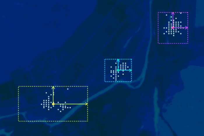
There are different ways to illustrate objects’ spectral brightness variation when moving between different spectral ranges. If it has to be shown for a single pixel of an image or generalized for a group of pixels, then spectral brightness curves are used. And what has to be done when one wishes to display spectral characteristics […]
Pyriatynskyi national nature park web app development using Web AppBuilder for ArcGIS Why would a national park need a web app? Our society may perceive protected areas as something inaccessible, closed for ordinary people, that is why creation of new nature reserves or parks at times causes disapproval in the community. The best way to […]
In this post you will learn about several mobile GIS and data collection apps, some of their strengths and weaknesses. Everyone who deals with geodata may have also encountered data collection in the field. Traditionally field data collection was performed using paper forms, paper maps, theodolites, compasses, circumferentors and so on. Now we can use […]
- 2 of 2
- « Previous
- 1
- 2