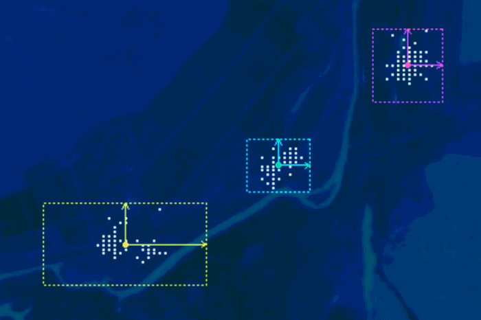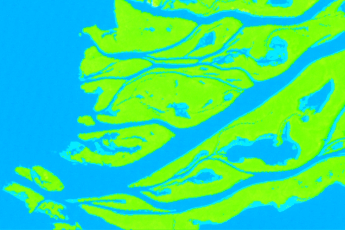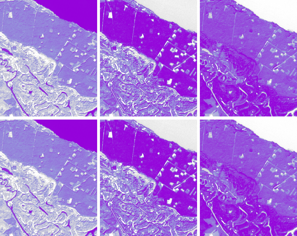
While performing supervised classification it is possible to obtain, in addition to the classified map, the rule images of your classification. You can learn what they are, and how to view these images can in a previous post. This post is about how to improve the quality of the classification with the help of rule images. […]
Remote Sensing
Planet Labs is a startup created by former NASA employees. Planet is designing and manufacturing miniature remote sensing satellites called Doves. The constellation of Dove satellites provides a global coverage with images of 3-5 m resolution, part of the data is in open access. It proves that “the sky in the limit” saying not true […]
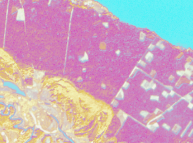
The main result of supervised satellite image classification process is the classification map. But apart from it, you can still get another result – the rule image. In this post, we will look at what it is. When we perform supervised image classification, the software calculates a mathematical criterion (which depends on the classification algorithm) […]
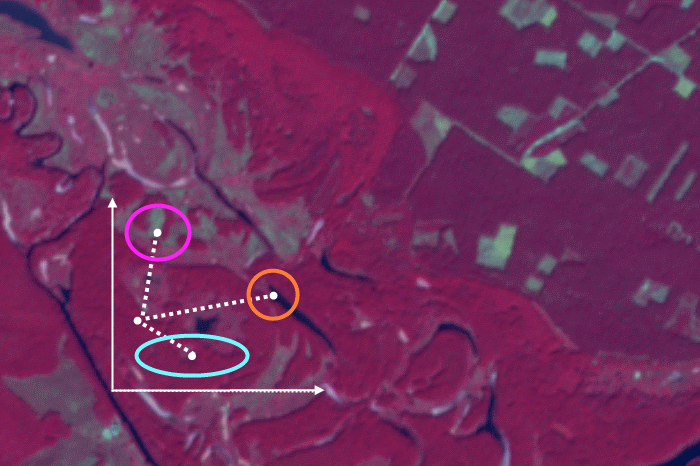
We have already posted a material about supervised classification algorithms, it was dedicated to parallelepiped algorithm. Now we are going to look at another popular one – minimum distance. In contrast with the parallelepiped classification, it is used when the class brightness values overlap in the spectral feature space (more details about choosing the right […]
We’ve prepared a list of upcoming free online courses in GIS, remote sensing and other useful things. Below you can also find the courses that can be taken anytime. Feel free to add more links in the comments! Data Analysis and Interpretation Specialization Data Management and Visualization Data Analysis Tools Machine Learning for Data […]
The previous post was dedicated to picking the right supervised classification method. And this time we will look at how to perform supervised classification in ENVI. We will take parallelepiped classification as an example as it is mathematically the easiest algorithm. In ENVI working with any other type of supervised classification is very similar to […]
Image classification is a means of satellite imagery decryption, that is, identification and delineation of any objects on the imagery. Classification is an automated methods of decryption. The user does not need to digitize the objects manually, the software does is for them. According to the degree of user involvement, the classification algorithms are divided […]
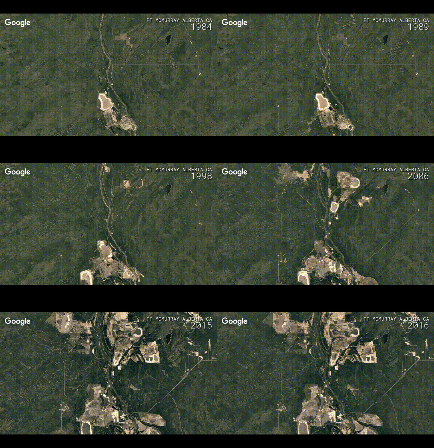
Like many others, we are fascinated by Google Timelapse. And decided to write a few words about this service and give a small digest of links reviewing it. On the 29th of November Google have announced the update to their Timelapse feature. Now everyone can travel in space-time, going back in time 32 years, up to […]
The European Space Agency is working on a family of satellite missions called the Sentinels. These missions are owned and managed by the EU as part of the Copernicus programme, that is said to be one of the most ambitious Earth observation programmes to date. It aims to give timely, accurate and accessible information for […]
Applying any classification algorithm to interpret a remotely sensed image we are always interested in the result accuracy. The simplest way to assess it is the visual evaluation. Comparing the image with the results of its interpretation, we can see errors and roughly estimate their size. But if we need a reliable accuracy assessment, we […]
- 2 of 4
- « Previous
- 1
- 2
- 3
- 4
- Next »