Remember when you traveled to other cities just a decade ago? First thing upon your arrival you rushed to buy a city map. It was best for this map to have public transit routes. Then you’d spend time to fold the so that it would be convenient to read, and finally you’d set off for […]
Mapping
OpenStreetMap (OSM) is one of the most promising web platforms for the crowdsourced mapping of the world. Openness, simple editing, advanced documentation and an active community are the main OSM advantages over other web solutions that claim to be global. OSM tags The main OSM advantage is, as for me, its extensibility. Anyone can initiate […]
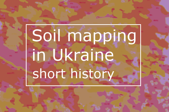
What is a soil map? What is it for? How are soil maps composed? What is the current situation with soil mapping? Not without reason 2015 was declared the International Year of Soils by the UN. Without thinking of it, we are indebted to the soil on an everyday basis not only for food, clothes […]
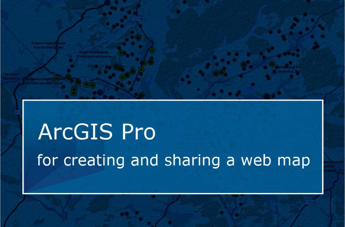
More and more GIS software products appear on the market these days. They do a great deal to both help with scientific research and spread the results for a wider audience. One of these new products is ESRI’s ArcGIS Pro. It is included with ArcGIS for Desktop 10.3 release (2014). Actually, ArcGIS Pro became available […]
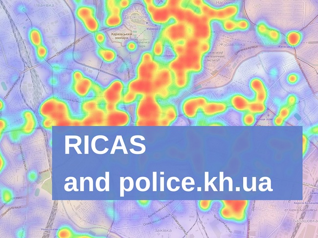
Last week we had invited representatives of Kharkiv police to have a frank conversation about something very important – maps and geoinformation. This may seem somewhat confusing. Local law enforcement had never associated with our field. Even right before the interview we had our doubts. The thing that struck us most, though, during our communication […]
This post is about cartography, corruption and philosophy. A weird combination, but it does make sense, I promise! Last week a final stage of regional selections to the first Ukrainian incubator 1991 Open Data Incubator took place in Kharkiv. This event gathered various projects, start-ups, that use state-provided open data for the greater good of […]
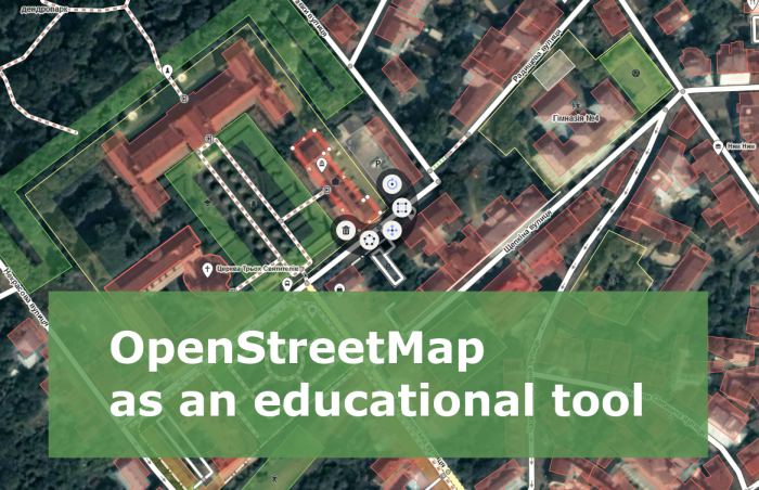
When I need to explain what OpenStreetMap (OSM) is, I say something like “Have you heard of Wikipedia? Well, it’s the same but for cartography”. Some of my colleagues may call this answer primitive, remind of Wikimapia, dozens of other crowdsourced services, or even may imply that “drawing lines on the Internet” has nothing to […]
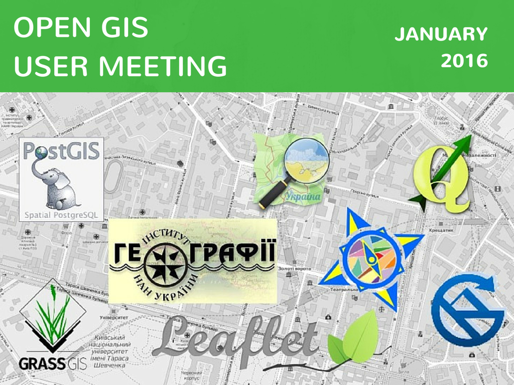
Last Saturday, on the 30th of January, a meeting of the open GIS users took place. This meeting brought some surprises to both organizers and participants. Find more details about the event from Oleksandr Golubtsov – our author and one of this meeting initiators. Enjoy it! 120! That’s how many people gathered at Open GIS Users Meeting […]
Happy holidays! We want to wish you all the best this holiday season and make a special gift! We have created an interactive map. This map contains a selection of traditional Christmas songs from around the world! Regardless of you religious beliefs these songs might create a peaceful and joyful atmosphere. Hopefully this atmosphere lingers […]
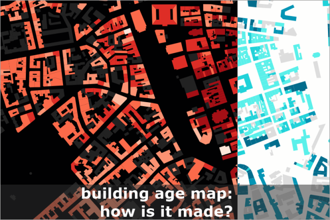
Lately there has been a rise in building age maps. One of the first maps of this kind was made for Portland, followed by other cities. Then the map of Amsterdam turned into a map of the Netherlands, New York /Brooklyn and Vancouver got their own maps as well. For Europe a map of Barcelona was […]
- 3 of 4
- « Previous
- 1
- 2
- 3
- 4
- Next »