radioactive-fallout

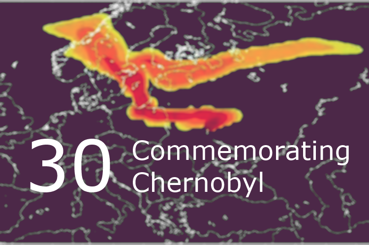
On April 26th, 1986 at 1:26am a fire alarm activated at Chernobyl nuclear power station. It was a sign of dramatic increase of reactor’s power and its overheating due to uncontrolled nuclear reaction that in a few moments caused hydrogen explosion. According to the official version there was an experiment carried out at the station, […]

Read more »

gis-forum-thesis

When talking about GIS in Ukraine, there are very few informational resources coming to mind, that could help in case one wants to go online and check current situation and projects running in the industry. While many people living in Ukraine are still oftentimes forced to refer to foreign resources in order to find tutorials […]

Read more »

GIS-forum-2016

GIS-forum, a platform for geo related communacation, took place last week in Kharkiv, Ukraine. Here is a short review by Yaroslav Smirnov telling mostly about the atmosphere of the event. GIS-forum 2016 has ended and I am writing this post on a train that slowly but steadily heads West from the East. As the overwhelming […]

Read more »

open_gis_education_issues

This post’s title partially repeats a topic of my speech at a wonderful open GIS user meeting which took place at the Institute of Geography [of the National Academy of Sciences of Ukraine] at the end of January. But like in any other public speech the most important things were not those said by me, […]

Read more »

GIS-agriculture

Today, geographic information technologies in Ukraine are still seen as novelty. Considering how widely and how often they are used across the industries, then this statement is quite true. And even though there is a wide range of open source application solutions available, representatives of various sectors rarely use GIS for process optimization. One reason […]

Read more »

gis-online-courses-list

While term ‘geospatial’ is becoming more and more trendy, many do still not know what hides behind the term. List of reasons for learning some geomatics as soon as possible could probably make a whole dedicated post. This time though, we won’t be convincing you that geospatial technology is amazing, but will give a list […]

Read more »

ricas_police_kh_ua

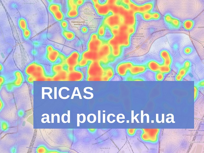
Last week we had invited representatives of Kharkiv police to have a frank conversation about something very important – maps and geoinformation. This may seem somewhat confusing. Local law enforcement had never associated with our field. Even right before the interview we had our doubts. The thing that struck us most, though, during our communication […]

Read more »

ACTS

This post is about cartography, corruption and philosophy. A weird combination, but it does make sense, I promise! Last week a final stage of regional selections to the first Ukrainian incubator 1991 Open Data Incubator took place in Kharkiv. This event gathered various projects, start-ups, that use state-provided open data for the greater good of […]

Read more »

osm_in_education

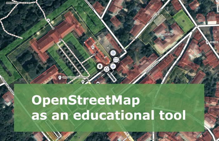
When I need to explain what OpenStreetMap (OSM) is, I say something like “Have you heard of Wikipedia? Well, it’s the same but for cartography”. Some of my colleagues may call this answer primitive, remind of Wikimapia, dozens of other crowdsourced services, or even may imply that “drawing lines on the Internet” has nothing to […]

Read more »

User_Open_GIS_Meeting_30012016_IG

Last Saturday, on the 30th of January, a meeting of the open GIS users took place. This meeting brought some surprises to both organizers and participants. Find more details about the event from Oleksandr Golubtsov – our author and one of this meeting initiators. Enjoy it! 120! That’s how many people gathered at Open GIS Users Meeting […]

Read more »