GIS-Forum 2018 organizers invite students of higher education institutions to take part in the first stage of the two-year competition of student works on geoinformatics. Participants of the contest are invited to choose one practical-oriented task for the implementation of the competition in the framework of the competition from the list of the partners suggested […]
GIS
Intellias is one of the few employers in Ukraine that offer positions in the area of geospatial technologies. The company is also the organizer of “Map Solutions”, a digital mapping, navigation, and LBS conference. 50 North had a chat with Intellias’ co-founder and COO, Michael Puzrakov, about the story of creation and development of the best […]
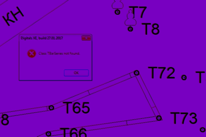
At the end of 2016, the university I teach in has purchased Digitals license. This software is used mainly by surveyors, and although the developers do not consider it a GIS, it is nowadays a very popular tool for spatial data processing in Ukraine. Previously I had never worked with similar software, as I mostly […]
We’ve prepared a list of upcoming free online courses in GIS, remote sensing and other useful things. Below you can also find the courses that can be taken anytime. Feel free to add more links in the comments! Data Analysis and Interpretation Specialization Data Management and Visualization Data Analysis Tools Machine Learning for Data […]
Geography Department of Kharkiv National University recently held GIS-Forum, perhaps the most important and the most anticipated annual event in Ukrainian GIS industry. For the sixth year in a row GIS-Forum gathers specialists in different fields: scientists, teachers and students. GIS-wizards and those, who are only studying, gather for three days to share their experience, […]
In February 2016, Secondary Cities project kicked off in Kharkiv, Ukraine. It is carried out by Humanitarian Information Unit of US State Department in collaboration with American Association of Geographers and Colorado State University. Secondary Cities project aims to “build partnerships to create geospatial capacity, enhance understanding through data and mapping and enable science-based decision […]
The scientists like terminology, especially when our own branch of science is in need of a name. There is a whole variety of disciplines related to the handling of spatial data. And lately the term “geomatics” has become quite spread. It is used in scientific articles, names conference sections and training courses. Within this post, […]
According to the UN, more than 54% of the global population lives in urban areas. Of course, the concept of “city” depending on a continent and a country. But regardless of the location all urban residents are united by their inclination to live in a safe, comfortable and attractive environment. Shaping of this environment relies […]
People say, that ability to make right decisions and to have a professional realization is a function of education. While formula for the function probably varies from person to person and remains a mystery to a certain degree, we can definitely influence the quality of the input – and that is, education. We claim, that […]
In Ukraine, events in the area of geographic information technologies are sparse. That’s one of the reasons for our 50 North team to participate eagerly in events gathering mapping professionals and enthusiasts. We are following our mission to provide informational platform for sharing ideas, news, innovations and inspiration in the area of geospatial technology. The […]
- 2 of 4
- « Previous
- 1
- 2
- 3
- 4
- Next »