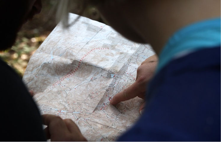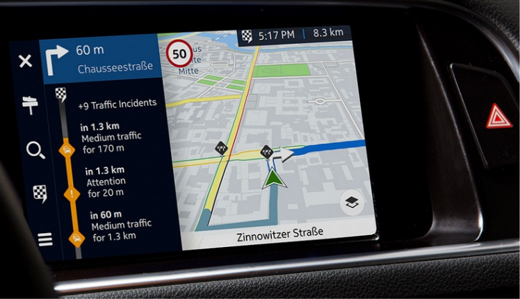
Remember when you traveled to other cities just a decade ago? First thing upon your arrival you rushed to buy a city map. It was best for this map to have public transit routes. Then you’d spend time to fold the so that it would be convenient to read, and finally you’d set off for new places. Nowadays, maps have moved to our smartphones and satnav devices, they are capable of positioning us, they build a convenient route, and give useful hints on the way.
We address maps increasingly more often not just during our journeys, but in our everyday life as well. Thanks to modern navigation systems maps are already capable of helping us avoid traffic jams, calculate transport waiting time, and estimate fuel consumption given the route specifics. They cease to be paper and static; they can be talked to, maps have become a dynamic representation of reality.
What happens to our maps next?
What will happen next? In which direction is the cartography progressing? It seems that in the near future cartography will become less human-oriented, but rather vehicle-oriented. As the technology advances, a user no longer reads the map the way they used to before. Map legend, symbols – all this is hidden from the user’s view. One gets only what is really needed – a point of interest, and a route to reach it. Maps for cars are the first step towards the broad usage of driverless vehicles that can process map data with no assistance using special software and transport the users to their final destinations.
On the world CES 2016 (Consumer Technology Association) expo held in Las Vegas earlier this year, HD Live Map was presented – a next generation map designed for machines. That is what makes it different from previous map products. At the moment, these ‘machines’ are ADAS (advanced driver assistance systems) car-integrated apps. Going forward, they are to become maps used by autonomous cars for safe course driving. Already today, these maps function as a sort of interpreters, or sensors, for the next-generation cars.
Image credit: 360.here.com
Now, the map does more than just helping you to travel from the point A to the point B. It is a sort of driver from a new generation of geolocation products providing information about the surrounding world and solving problems that the drivers encounter on everyday basis.
Before bringing completely automated driving to reality a few problems need to be solved first. There is an undoubted need for a map with high, unprecedented accuracy. Like road attributes (speed limits, priority and warning signs), lanes’ curvature, width, and their number must be known for every kilometer of any road.
The second key component of the automated driving is the capability of understanding information on objects and conditions inside and outside a specific car, but also from other vehicles perspective – in real-time. This requires reasonable data processing capabilities.
The next thing is modeling human behavior. How people drive and react to various road conditions, like specific weather, road characteristics, potential driving rule violations. It helps to imitate the human driving experience, as despite these maps are designed for cars, it is humans who should benefit from them.
Now, let’s get back to the Las Vegas expo and look at the map presented there in detail.
HD Live Map
HD Live Map doesn’t download a region or a whole country; instead it is delivered in 2×2 km tiles and consists of three layers.
At the core, of course, is the mapping layer – an HD-map. It is superaccurate (down to the centimeters), with high image resolution, it constantly provides up-to-date information for a car’s autonomous drive. It is required not just for car’s precise positioning from different directions, but for correct maneuvering as well. Imagine a situation when our car is driving down the freeway behind a slow truck and wants to overtake it. To do this, it needs answers to the following questions: is there a lane for overtaking? are there any legal restrictions for overtaking? is the overtaking lane wide enough? will the road stretch ahead be long enough to end the maneuver? This is an answer to the question of how detailed a map should be.
GPS is limited to the accuracy of several meters at best. Such precise information can be collected using LiDAR that yields the accuracy level of 10-20 cm which in developer’s opinion is most adequate for automating the driving process.
The next layer of the abovementioned map is an active and dynamic layer containing data on short-term changes in the road environment, the so called Live Roads. Information can come here from countless sources: road network sensors, municipal and state sources, and – most important – from other cars’ sensors. The capability of receiving information from various sources beyond car’s own sensors has a crucial importance for development of the automated driving technology. This information is as a rule temporary – road accidents, traffic jams, construction works. This all is overlaid on the first layer and used in the real-time mode.
The third layer in an analytical layer. Analyzed is data that shows how people are driving the given road stretch in a certain car and in the given weather conditions. It allows to ‘humanize’ the car so that passengers would feel relaxed and comfortable.
Now we can see a map before us not as the neatly folded sheet of paper, but a dynamic, live and capable of self-recovery and self-update product. And it becomes a powerful asset that greatly benefits those who use it. Not just drivers profit from such flourishing growth of maps. Everything is at a larger scale. Thanks to such technologies, various governmental organisations are capable of analysing and forecasting road conditions and preventing problems. These information is crucial for many factors such as safety, roads capacity, noise level and emissions level. This all does well for the entire humanity and proves a point on the importance of the further development and improvement of maps and technologies of their creation. And in whole, I think that there is a great number of ways to apply maps, and that this is just the start.

