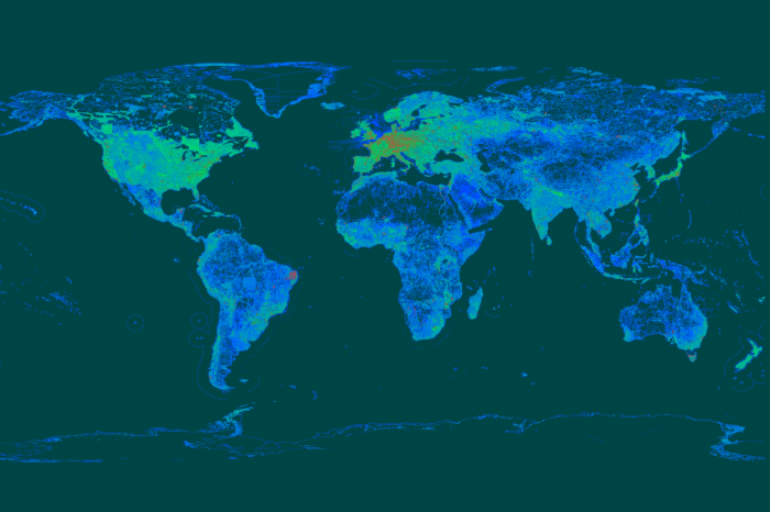
Data is becoming more and more accessible nowadays. It’s amazing how the community is working together to provide open data and software to anyone needing it.
The original version of this post has been created for Ukrainian readers. You can have a look at it in Ukrainian. It compiles some generic open geodata sources and country-specific sources for Ukraine. This kind of information is available more widely in English,as number of posts listing open data portals already exist. That’s why we will just give some small references here.
Here is a very extensive list of various data sourses: freegisdata.rtwilson.com
Another source is a web application for geospatial data search, preview and download. Open Geoportal includes multiple repositories.


Спасибі за хороший огляд.
Трохи кліматичних даних, з CRU (climate research unit).
http://www.cru.uea.ac.uk/data
І, як уже згадував Андрій, хороший огляд також доступний тут:
http://freegisdata.rtwilson.com/
Tree species maps for European forests – http://www.efi.int/portal/virtual_library/information_services/mapping_services/tree_species_maps_for_european_forests/
Free GIS Datasets – http://freegisdata.rtwilson.com/
EUFORGEN Distribution maps – http://www.euforgen.org/distribution-maps/
Sentinels Scientific Data Hub – https://scihub.copernicus.eu/
United Nations Environment Programme – http://monde-geospatial.com/downloading-and-using-data-from-united-nations-environment-program-in-qgis/
European Environment Agency Datasets – http://www.eea.europa.eu/data-and-maps#tab-datasets