photogrammetry

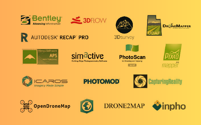
Unmanned aerial vehicles are becoming more and more available together with drone acquired imagery/data, this contributes a lot to the development of automated photogrammetric processing. Products like Pix4Dmapper, ContextCapture, PhotoScan and many others have formed a distinguished class. The software products, that we are going to discuss here, are intended to solve similar problems that […]

Читати далі »

geodigest-09-18

Periodic collection of news and interesting facts from the world of Geo.   Dates 31st of October – Earth Imagery at Work MOOC starts 5th of November – Maps and the Geospatial Revolution starts   How it works Styling Mapbox Terrain RGB Creating Shaded Relief in Blender Model Input Variable Explorer for #VisualizeNoMalaria Introduction to […]

Читати далі »