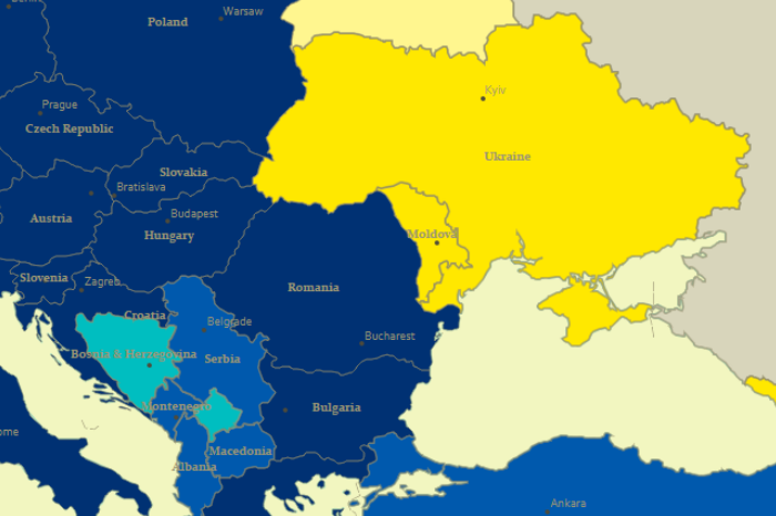
On September 1, 2017, the Agreement on Association of Ukraine with the European Union, the European Atomic Energy Community and their member states came into force – this is the full name of the ultra-important agreement of our country. Actually, the Association Agreement was signed in two stages – March 21, 2014 – the political […]
11 / 2017
Dates November 1, 2017 – December 12, 2017, The Location Advantage by ESRI (Registration closes November 15) November 15, 2017 – GIS Day 2019 (Registration closes November 13) February 21 – February 23, 2018 – GIS Forum Various things Stae – tools that help the local government collect, manage and process data about their […]
The main result of supervised satellite image classification process is the classification map. But apart from it, you can still get another result – the rule image. In this post, we will look at what it is. When we perform supervised image classification, the software calculates a mathematical criterion (which depends on the classification algorithm) […]