inspire-inspiration

I am pleased that the post about cadastral map of Ukraine caused a lively interest of the community. So let me continue. Today there are at least 10 cadastres in Ukraine: State land cadastre State water cadastre State cadastre of animal life State cadastre of natural medicinal resources State cadastre of deposits and occurrences of […]

Читати далі »

geodigest-1-2017

Starting a new year of digests. Read our periodic collection of news and interesting facts from the world of Geo. Also feel free to share your findings in the comments!   Dates 31st of January 2017 – SCGIS 2017 scholarship program deadline. 1st of February 2017 – application deadline for Parrot Climate Innovation Grant Application. […]

Читати далі »

Andrey-Golovin

Last year I had an opportunity to talk with Andrey Golovin. He is a dedicated osmer who spent 1,500 days over 8 years for mapping, helped add to the map, among other things, the city of Dnipro, made thousands of edits and posts on OSM forum and wiki. Andrey spoke about how he became who he is today. This is a […]

Читати далі »

supervised-classification

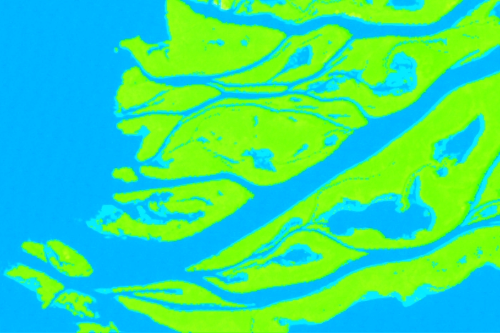
Image classification is a means of satellite imagery decryption, that is, identification and delineation of any objects on the imagery. Classification is an automated methods of decryption. The user does not need to digitize the objects manually, the software does is for them. According to the degree of user involvement, the classification algorithms are divided […]

Читати далі »