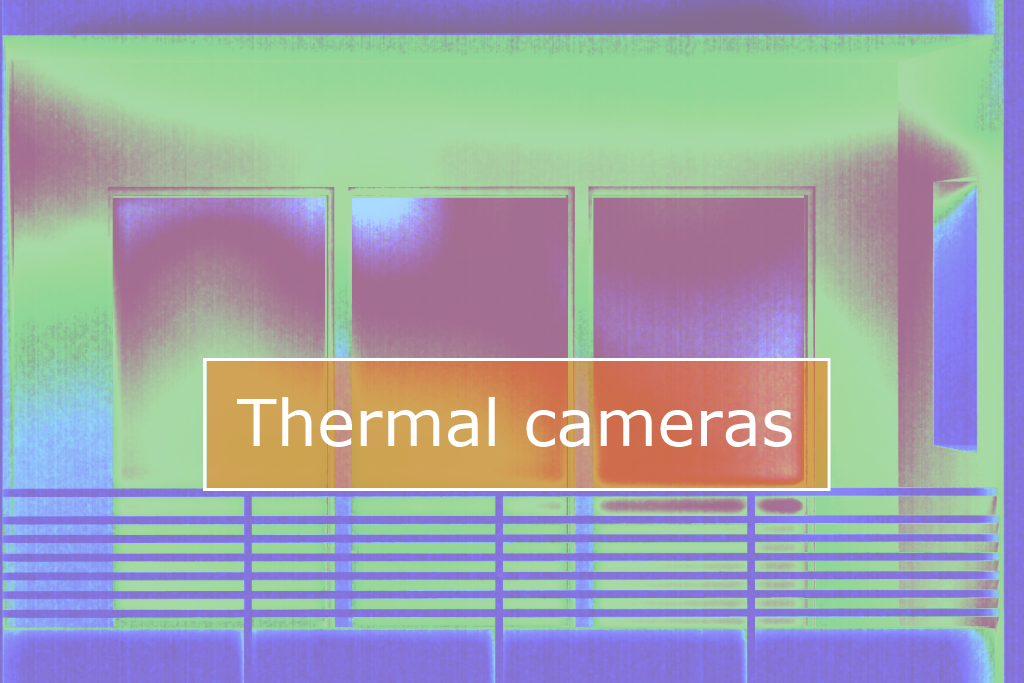
Among various types of the remote sensing, thermal surveying has a special place. First space thermography data was obtained back in the early 1960s by the sensors of the American TIROS satellites. Despite its low spatial resolution, this data showed a fundamental possibility of the usage of thermal imaging in remote sensing. The next years, […]
05 / 2016
In little less than two weeks, on June 4th, an unprecedented in Ukrainian terms event will take place in Kyiv. This will be Map Solutions conference. The purpose of this event is to gather on one stage the leading developers of map and geolocation services with significant experience in this area. Developers and managers from […]
Today we would like to talk about sustainable development of cities. There is an opinion: best thing that human can do for nature is to stay as far as possible from it, and to live in a densely populated city (actually, it is not a joke, but a quote of city planner and urban designer […]
As we’ve already discussed in the post on soil maps, today Ukraine has an urgent need in updating them. Soil maps currently in use had become outdated at least 10-15 years ago. Surveys carried out to map soils are quite labor-intensive as they require a considerable number of soil pits to be laid and sampled. […]
Unmanned aerial vehicles (UAVs) had always been the property of the military scientists, but recently some of these devices, such as drones and quadcopters, have gained a place in various areas of civil life. Every day, humanity finds new applications for them, making certain upgrades to these flying assistants. A bright future is predicted for […]
We are sure that our regular readers won’t be surprised by the abbreviations above. For those who have tuned in recently, we recommend checking out posts about digital elevation models and open GIS, TNTmips in particular. At some point, MicroImages Company had helped numerous postgraduate students of the 90’s a lot by sending for all […]
GIS has become so broad in the last years that while communicating with a colleague you may sometimes realize that you don’t quite understand what he or she is doing. Well, for yourself, too, it can be hard to explain your place and preferences in a GIS-world. Taking into account that classification has always been […]