radioactive-fallout

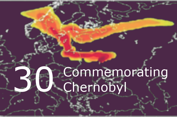
On April 26th, 1986 at 1:26am a fire alarm activated at Chernobyl nuclear power station. It was a sign of dramatic increase of reactor’s power and its overheating due to uncontrolled nuclear reaction that in a few moments caused hydrogen explosion. According to the official version there was an experiment carried out at the station, […]

Читати далі »

scatter-plot-

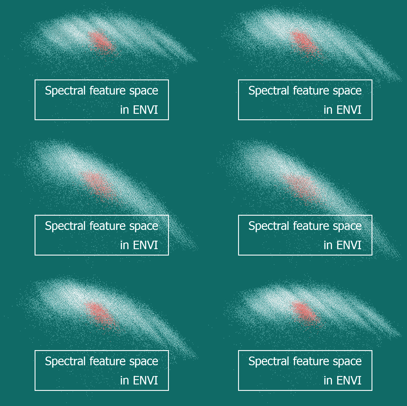
There are different ways to illustrate objects’ spectral brightness variation when moving between different spectral ranges. If it has to be shown for a single pixel of an image or generalized for a group of pixels, then spectral brightness curves are used. And what has to be done when one wishes to display spectral characteristics […]

Читати далі »

mapping-nature-osm

OpenStreetMap (OSM) is one of the most promising web platforms for the crowdsourced mapping of the world. Openness, simple editing, advanced documentation and an active community are the main OSM advantages over other web solutions that claim to be global. OSM tags The main OSM advantage is, as for me, its extensibility. Anyone can initiate […]

Читати далі »

IPS

More and more people are traveling every year, while less and less of them are using conventional paper maps. Just 10 years ago, before arriving to a foreign city it was necessary to look up the address of a tourist information office to get a city map there. Today, in contrast, we can easily find […]

Читати далі »

geodigest-1-2016

Have a look at our digest reviewing news and interesting facts, a periodic selection of all things geo. Feel free to add your news links in the comments below!   Events, calls, competitions International conference “ESRI GIS in Ukraine” will take place in Kyiv on the 23rd-27th of May, 2016. Call for proposals for 2016 […]

Читати далі »

RS-and-archeology

Today we will talk a little about archeology. Usually this science is associated with digging up something very old to see if it sheds any light at the past historic events or the way we interpret them. A while ago I had a chance to work at archaeological sites myself. But girls usually get a […]

Читати далі »

DEM-farmers

How can a DEM be used practically? How to turn DEM into a map of slopes or aspects, and how can these maps be further used – all this is covered in detail in our post. We have already started talking about terrain. Now let’s talk about more specific things, and particularly – about using DEMs […]

Читати далі »

soil-mapping-ua

What is a soil map? What is it for? How are soil maps composed? What is the current situation with soil mapping? Not without reason 2015 was declared the International Year of Soils by the UN. Without thinking of it, we are indebted to the soil on an everyday basis not only for food, clothes […]

Читати далі »