Earth from space
Happy New Year

Dear GIS community! Happy New Year! It seems to be a dream but 2016 is moving from future into present. Our small team would like to wish you peace within and around you, incredible opportunities for personal development, learning and realization of your initiatives this coming year and always! We wish that everyone finds something […]

Читати далі »

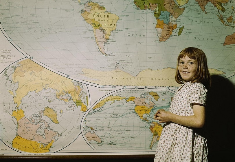
school-girl-geography-438364-h

Teaching GIS is quite an important part of the general process for nature resource management education. The training curriculum for various specialties now includes learning the basics of professional GIS. But unfortunately Ukrainian universities face an ever relevant problem in GIS education:  lack of funds. Software prices reach up to several thousands USD per user. […]

Читати далі »

nppp_

Pyriatynskyi national nature park web app development using Web AppBuilder for ArcGIS Why would a national park need a web app? Our society may perceive protected areas as something inaccessible, closed for ordinary people, that is why creation of new nature reserves or parks at times causes disapproval in the community. The best way to […]

Читати далі »

mars-earth

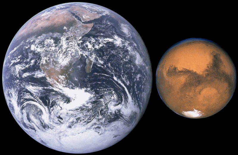
In this post we will try to search for the Martian on the surface of the planet. In a way it is strange how humans are fascinated by space. I have a biologist friend who hates space exploration and she is right in her own way. Having this wonderful planet full of mysteries, undiscovered, extinct, […]

Читати далі »

drones-agri-issues

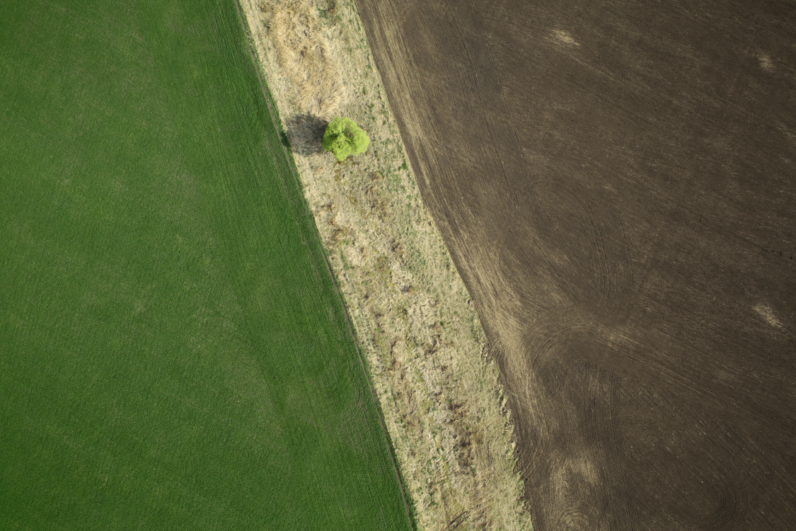
Application of unmanned aerial vehicles (UAVs) in agriculture has reasonable prospects, however, introduction of drones in the field and their market promotion is facing some difficulties. For example, using UAVs for spraying the crops is more or less clear for both the supplier and consumer, and all difficulties are placed in the price issue. Whereas […]

Читати далі »

gps-monitoring-cover

This post will tell in detail about what GPS monitoring is and what kind of methods are used. GPS monitoring is a system used to track moving objects. It is based on satellite navigation, cellular technology, specialized equipment and digital mapping. This kind of system enables tracking of the following parameters: ০ locations and movement […]

Читати далі »

mobile_apps

In this post you will learn about several mobile GIS and data collection apps, some of their strengths and weaknesses. Everyone who deals with geodata may have also encountered data collection in the field. Traditionally field data collection was performed using paper forms, paper maps, theodolites, compasses, circumferentors and so on. Now we can use […]

Читати далі »

arcgisearth

When it comes to GIS technology most people think of Google Earth and Google Maps first. This is not surprising as it was the release of Google Earth back in 2005 that initialized mass market oriented rapid geospatial technology development. In the following years GIS technologies have undergone drastic changes. But still if any GIS […]

Читати далі »