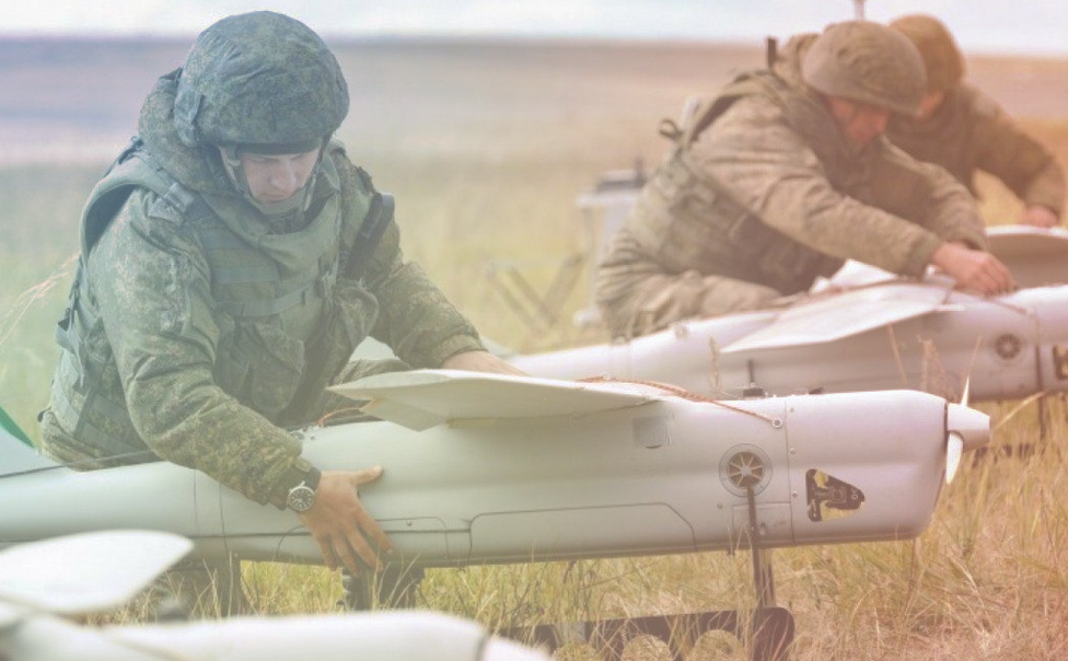
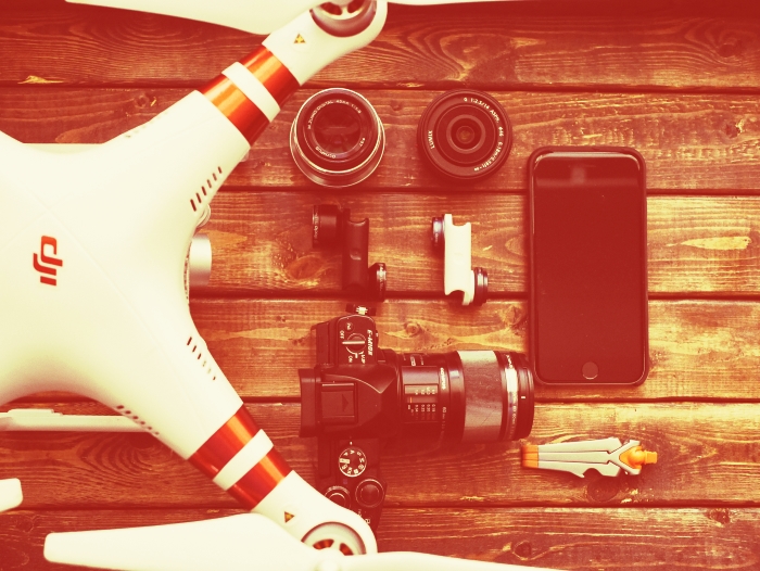
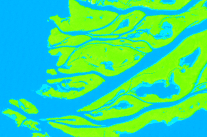
Unmanned aerial vehicles are becoming more and more available together with drone acquired imagery/data, this contributes a lot to the development of automated…

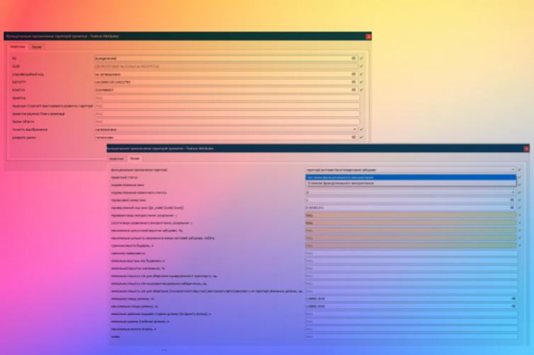
All spatial documentation in Ukraine – comprehensive plans for the spatial development of an area of some territorial community,…
Sorry, this entry is only available in Ukrainian.
Can the authorities use open licence software in their work? Regarding this question, there are certain manipulative statements, which…
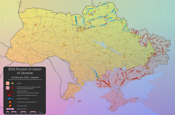
We have collected a series of maps and resources related to the Russian invasion to Ukraine. Feel free to…
The beginning of the third millennium was marked by another exacerbation of global environmental problems and awareness of the…
Idea
30DayMapChallenge has begun on Twitter by Finnish geographer Topi Tjukanov. Challenge rules are very simple. Throughout November participants…
It has been more than three years since we last reviewed Ukrainian legislation regulating the use of…
In early December, I had the opportunity to participate as a mentor in a three-day workshop called…
HERE Summer School 2019 Poznań is an event that brought together more than 40 students and members…
On the 5th of September, 2019, the Practical UAV conference was held in Kyiv. It was organized…

